This page was translated automatically from German. View the original
Le Marin is the largest marina in Martinique: the marina on the south coast has 830 berths at pontoons and 100 moorings. Here you will find out how Marina Le Marin is laid out, how you clear in to Martinique, how to get there from the airport and what role the harbours in Fort-de-France and Trois-Îlets play (status: October 2026).
The essentials at a glance
- The main marina in Martinique is the marina in Le Marin in the south of the island. In addition there are the Port de l'Étang Z'Abricots in Fort-de-France and the Marina Pointe du Bout in Trois-Îlets.
- Marina Le Marin listens on VHF channel 9. The harbour office is staffed daily, on Sundays mornings only.
- Martinique belongs to France and to the EU. Anyone arriving from abroad or departing abroad completes clearance online or at an authorised point, for example in Le Marin.
- Martinique Aimé Césaire Airport (FDF) is located in Le Lamentin, about 35 kilometres by road and, depending on traffic, 40 to 45 minutes' drive from Le Marin.
- Sailing is mainly from December to April in steady trade winds. The hurricane season runs from 1 June to 30 November.
Which harbours in Martinique are important for sailing trips?
For sailing trips in Martinique, three harbours matter above all: the marina in Le Marin on the south coast, the Port de l'Étang Z'Abricots in Fort-de-France and the small Marina Pointe du Bout in Trois-Îlets. Le Marin is by far the largest and home to many specialist businesses.
The other two harbours lie on the large bay of Fort-de-France on the west coast, a good 20 kilometres as the crow flies northwest of Le Marin. On the water the route is considerably longer because you have to round the island's southwest point at Rocher du Diamant.
| Feature | Marina Le Marin | Port de l'Étang Z'Abricots | Marina Pointe du Bout |
|---|---|---|---|
| Location | Le Marin, south coast, at the head of a deep bay | Fort-de-France, eastern edge of the city | Les Trois-Îlets, Pointe du Bout peninsula, opposite Fort-de-France |
| Berths | 830 at pontoons, 100 buoys | over 340 afloat, 150 ashore | around 100, of which 14 for visitors |
| Boat size | up to 60 m | up to 25 m | up to 19 m length, 6 m beam |
| VHF channel | 9 | enquire in advance | enquire in advance |
| Fuel station | yes | yes | enquire in advance |
| Clearance on site | yes, at authorised locations | yes | authorised location in Trois-Îlets |
| Port authority | Commune of Le Marin | CACEM municipal association | Commune of Les Trois-Îlets (municipal enterprise) |
Where is the marina in Le Marin?
The marina is in the town of Le Marin on the south coast of Martinique, right at the far end of the deep inlet Cul-de-Sac du Marin. You'll find the capitainerie at Boulevard Allègre in the Bassin Tortue harbour basin.
Map from OpenStreetMap. When the map is displayed, data is transmitted to the provider.
More InformationLe Marin is the administrative centre for the south of the island. The bay is well protected from swell, which is why the island's largest yacht harbour has developed here: 830 berths at pontoons and 100 buoys in the anchorage. Over 80 specialist companies for maintenance, repair and equipment work around the harbour. Yachts up to 60 metres in length also lie at the pontoons.
Access to the pontoons is controlled and video-monitored. If you arrive late, ask the marina in advance how to get in.
Facilities at Marina Le Marin
Water and electricity at 220 or 400 volts are available at the pontoons. You can have black and grey water pumped out directly at the berth. There's also a fuel station, showers and toilets, a launderette, Wi-Fi, shops, restaurants and bars. You'll find provisions and chandlery in the harbour area, as well as a medical centre.
Capitainerie and registration
Before entering, call the capitainerie on VHF channel 9, and they'll assign you a berth at a pontoon or a buoy. The office is staffed daily, on Sundays only in the morning. Current times are on the marina's website. Payment is by card or cash, and the staff speak French and English. In an emergency, channel 16 applies as everywhere.
How do you berth in Le Marin?
In Le Marin you'll either lie at one of the pontoons in the harbour basin or at a buoy in the bay outside. Which option you get is decided by the capitainerie according to boat size and occupancy.
Motor slowly in the bay: many boats lie at buoys or at anchor, with dinghies and water taxis moving between them. Keep to the buoys and the chart; outside the fairway it shoals quickly. Have warps and fenders ready on both sides and ask over the radio how to make fast at your assigned berth. If you're on a buoy, you take the dinghy to the dinghy dock and walk into town from there.
How do you clear in to Martinique?
Martinique is a French overseas department and therefore part of the EU. Nevertheless, every yacht arriving from abroad or departing for abroad must complete clearance, i.e. report arrival and departure to customs. This applies regardless of flag and nationality, private or commercial.
How clearance works
Since September 2024, clearance in the French Antilles has been electronic. The skipper fills in the French customs form online, before arrival or before departure. This includes details of the boat, the last and next port, and the name, date of birth, nationality and passport number of everyone on board. You receive a certificate with a digital customs stamp in return. The automatic acknowledgement of receipt is not sufficient; what counts is this certificate.
Because many neighbouring states do not yet recognise the digital certificate, you print it out and have it stamped at an approved clearance point. If you have no internet, you can also fill in the form directly there. In Le Marin there are such points in the harbour, including the capitainerie and the fuel dock on pontoon 3, which offers clearance daily until 16:30. Further approved points can be found in Fort-de-France, Trois-Îlets, Sainte-Anne, Anses d'Arlet and Saint-Pierre, among others. The French customs information sheet links to the form and the current list.
What does this mean for you?
If you stay with the boat around Martinique, you do not need clearance. If the trip goes to a neighbouring island such as St Lucia, you clear out of Martinique, clear in there and on the way back clear in to Martinique again. For entry by air, EU citizens need only an identity card or passport. Anyone wishing to sail from Martinique to the neighbouring islands should take their passport, as the entry regulations of the respective state apply there.
Good to know for the first day in Le Marin
Provisions, shops and a medical centre can be found in Le Marin right by the harbour. You don't need to leave the town for a major shop.
Shopping, money and luggage
An Auchan supermarket in the Mondésir quarter is within walking distance of the marina. You can reach a Carrefour Market in the Montgérald quarter and an Ecomax discount store in the Zone Duprey by hire car or taxi in a few minutes. Larger markets with a wider range are in Rivière-Salée and in Ducos near the airport, which is convenient on the way from the airport. Alternatively, several provisioning services in Le Marin deliver to the pontoon or the marina car park on request. Orders are placed online or by shopping list, ideally a few days before the trip starts. On Sundays and public holidays the markets are usually only open in the morning.
Payment is in euros, usually also by card. On St Lucia and St Vincent, however, the East Caribbean dollar applies. You should enquire in advance at the capitainerie whether and where you can park at the marina, for instance for hire cars and luggage.
Doctor and pharmacy
A medical centre is located in the harbour area of Le Marin. The capitainerie is the best place to ask where the nearest pharmacy with on-call service is; they also know the local doctors.
Emergency numbers in Martinique
- 112: European emergency number, free
- 15: ambulance service (SAMU), 17: police, 18: fire brigade
- 196: sea rescue via the CROSS Antilles-Guyane rescue coordination centre in Fort-de-France, at sea also VHF channel 16
How do you get from the airport to the marina in Le Marin?
Martinique Aimé Césaire Airport (code FDF) is in Le Lamentin, around twelve kilometres from Fort-de-France. It is around 35 kilometres to Le Marin via the N5 national road, taking 40 to 45 minutes by car depending on traffic.
Taxis wait outside the arrivals area at exit D and run on meters. Car hire desks can be found in the terminal; some companies take you by shuttle to their station nearby. By bus you have to change at the Carrère junction; with luggage, a taxi or transfer is therefore the usual choice.
Port de l'Étang Z'Abricots in Fort-de-France
Port de l'Étang Z'Abricots lies on the eastern edge of Fort-de-France between mangroves and residential areas, about a quarter of an hour from the city centre and the airport. It is the island's second-largest marina.
There are over 340 berths afloat with water and electricity for boats up to 25 metres, and ashore hardstanding for 150 boats. Facilities include a fuel dock, slipway, launderette, showers and toilets, ice, Wi-Fi and access control. You can complete customs and clearance formalities directly in the harbour. The harbour office is staffed daily during the day; ask for the VHF channel by phone in advance.
For crews short of time, the harbour has a practical advantage: it is much quicker to reach from the airport than Le Marin, and the capital is close by.
Marina Pointe du Bout in Trois-Îlets
Marina Pointe du Bout lies on a peninsula in the commune of Les Trois-Îlets, directly opposite Fort-de-France on the other side of the bay. It is small and run by a municipal authority.
Around 100 boats can berth here, with 14 places reserved for visitors. The basin takes boats up to 19 metres long and 6 metres wide. Water and electricity are available at pedestals with access cards; showers and toilets are open round the clock. The marina has reception, Wi-Fi, ice and waste separation; waste oil and batteries are collected separately.
Around the marina are hotels, restaurants and the beaches Anse Mitan and Anse à l'Âne. Ferries connect Pointe du Bout with Fort-de-France; the crossing takes about 20 minutes. This way you can reach the capital without a car.
When is the best time for sailing in Martinique?
The main season is between December and April. The trade wind then blows steadily from north-east to east, usually at 10 to 20 knots.
In January and February the trade winds can freshen to 25–30 knots for a few days; the weather service then issues coastal warnings. From May to November the wind usually backs to south-east and becomes lighter and more variable at 12–15 knots. During these months tropical waves pass through roughly every three to six days, bringing showers, thunderstorms and squalls. Air temperature is around 30°C, water temperature averages 28°C.
What does the hurricane season mean for your trip?
The hurricane season runs every year from 1 June to 30 November. Sailing continues during this period, but with a daily eye on the weather and flexible planning. When a storm approaches, Martinique uses colour-coded alert levels from yellow to violet, then grey after it has passed. The rule for sailors when a cyclone warning is in force: do not put to sea and secure your boat.
Which sea weather forecast applies to Martinique?
The sea weather forecast for Martinique is issued by Météo-France. You can find it on the website meteofrance.mq and hear it on VHF from the rescue coordination centre CROSS Antilles-Guyane.
The coastal weather forecast is broadcast on VHF three to four times a day and announced beforehand on channel 16, with a note of which channel it will follow on. Times are given in UTC or local time; in the Antilles local time is UTC minus four hours. From wind force 7 Beaufort onwards Météo-France issues a strong wind warning (BMS) for the coast. CROSS Antilles-Guyane transmits it immediately and thereafter hourly at half past the hour. At sea VHF is still the better choice, as the range is greater and channel 16 is monitored continuously.
Where can you go from Le Marin?
From Le Marin you can reach the sheltered bays of the south coast after just a short passage, and the west coast and St Lucia in a day's sailing. All distances are rounded water distances on the usual course; refer to the chart for exact planning.
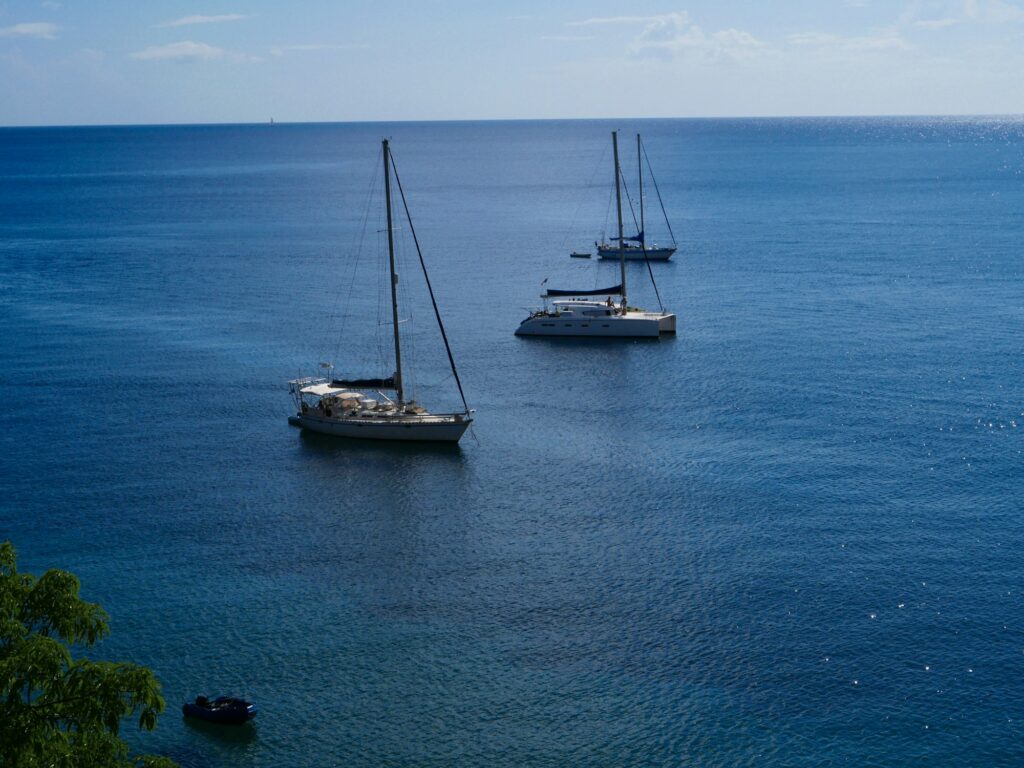
- Sainte-Anne, about 2 nm: The anchorage off the village is still within the bay of Le Marin, ideal for the first night. The outlying islets are a bird sanctuary and can only be seen from the water.
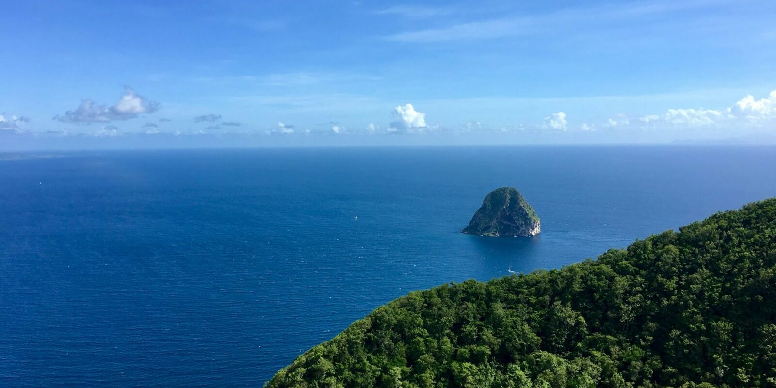
- Grande Anse d'Arlet, about 18 nm: On the way you round the distinctive Rocher du Diamant off the south-west coast, after which you reach the calmer bays closer inshore.
- Pointe du Bout and the bay of Fort-de-France, about 23 nm: Many anchorages, the Marina Pointe du Bout and a trip into the capital by ferry.
- Rodney Bay on St Lucia, about 24 nm: The passage south leads across open water in the trade winds; you clear out from Martinique beforehand.
- Saint-Pierre, about 33 nm: The town lies on the north of the west coast at the foot of Montagne Pelée; the bays here have black sand.
If you want to sail further south, beyond St Lucia you will find the Grenadines of St Vincent. An overview of the island chain is given in the sailing area guide to the Lesser Antilles.
What can you do ashore in Le Marin?
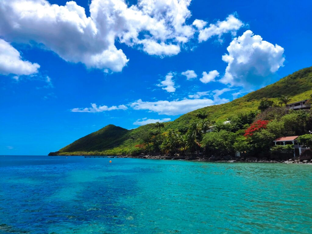
For a day off in Le Marin a stroll through the village or a short excursion to the beaches in the south is enough. Distances are short; for the beaches take a taxi or hire car.
- Saint-Étienne church: The church on Place Joffre in the village centre was rebuilt from 1766 onwards and has been listed as a historic monument since 2012. It is less than a kilometre as the crow flies from the marina.
- Morne Gommier viewpoint: From the hill above Le Marin you can see in all directions, over the marina and Sainte-Anne as far as Rocher du Diamant and, when visibility is good, to Montagne Pelée. Telescopes are provided.
- Sainte-Anne: The neighbouring village lies a good four kilometres as the crow flies to the south, with beach, restaurants and the start of the Trace des Caps coastal path.
- Grande Anse des Salines: The palm-fringed beach, about three kilometres long, lies in the far south, roughly eight kilometres as the crow flies from the marina. It gets busy at weekends.
- Beaches on the Atlantic side: Cap Chevalier, Cap Macré and Anse Macabou lie in the area on the east coast, with considerably more surf than in the bay.
Trips from Martinique on Törnfinder
From Le Marin you can sail to the neighbouring islands, whether as cabin charter, sailing trip or week-long trip with your own crew. Offers in the region can be found on Törnfinder under Sailing in the Caribbean. If you are sailing with an unfamiliar crew for the first time, the page on Cabin charterexplains how a week's trip works and what to look out for when choosing. Anyone wanting to build up longer distances, for example on a delivery across the Atlantic from Las Palmas, should look under Mile building.
Frequently asked questions
Which is the largest marina on Martinique?
Marina Le Marin on the south coast. It has 830 berths at pontoons and 100 moorings, plus a fuel berth and over 80 specialist businesses for maintenance and equipment in the vicinity.
Do I have to clear in on Martinique even though the island belongs to the EU?
Yes, if you arrive by boat from abroad or sail to another country, for example St Lucia. Clearance is done online or at an authorised office. If you stay around Martinique, it is not required.
Which VHF channel does Le Marin marina monitor?
Channel 9. You contact them before entering and they assign you a berth on the pontoon or a mooring buoy.
How far is the airport from Le Marin?
About 35 kilometres by road, 40 to 45 minutes by car depending on traffic. Taxis are available at the arrivals area; by bus you have to change.
When is hurricane season on Martinique?
From 1 June to 30 November. The main sailing season therefore runs from December to April.