This page was translated automatically from German. View the original
Red and green buoys, yellow-and-black pillars, here and there a mark with spheres or a cross on top: Behind this buoyage lies a clear set of rules, the lateral system and the other marks of the IALA system, and once you understand the logic, you read a fairway almost as naturally as a road.
The essentials at a glance
- Buoyage worldwide follows the IALA Maritime Buoyage System. There are two regions: A (including Europe, Africa, Australia) and B (including the Americas, Japan, Korea, the Philippines).
- In Region A, when entering from seaward, the red buoys lie to port and the green buoys to starboard. In Region B it is exactly the other way round.
- Cardinal marks are yellow-and-black and show you on which compass bearing from the mark the safe water lies.
- Isolated danger marks, safe water marks, special marks and the wreck mark apply equally in both regions.
- Sea marks are part of the basic knowledge for boating licences, but above all they are everyday tools for everyone on board.
What does buoyage at sea mean?
Buoyage is the marking of fairways, danger spots and special areas by means of buoys, beacons and lights. It tells you where you can navigate safely and where not.
The basis is the IALA Maritime Buoyage System, of the International Association of Marine Aids to Navigation and Lighthouse Authorities. It goes back to a conference in November 1980, at which two previously separate systems were merged, and today recognises six groups: lateral marks, cardinal marks, isolated danger marks, safe water marks, special marks and the wreck mark.
In German waters, the buoyage of navigable sea channels is regulated by the Seeschifffahrtsstraßen-Ordnung; the marks are set out in Annex I to that ordinance (status: October 2026).
How does the lateral system work?
The lateral system marks the two sides of a fairway: one colour for the left side, one for the right side. What matters is not your current direction of travel, but the established direction of buoyage.
What does "from seaward" mean?
The direction of buoyage is basically the direction in which a vessel approaches a harbour, river mouth or waterway from the sea. The Seeschifffahrtsstraßen-Ordnung therefore defines the starboard side of the fairway as the side which a vessel entering from seaward has to starboard. If a fairway connects two sea areas, the Seeschifffahrtsstraßen-Ordnung regulates the case itself: the starboard side is then the side which a vessel coming from a westerly direction has to starboard. Outside German waters, the responsible authority establishes the direction, in principle clockwise around land masses. The chart shows this with its own symbol.
When you leave harbour, the picture is reversed: the buoys you had to port on entering now lie to starboard. More on the two terms can be found in the article Why starboard and port aren't simply right and left.
Red and green buoys in Region A
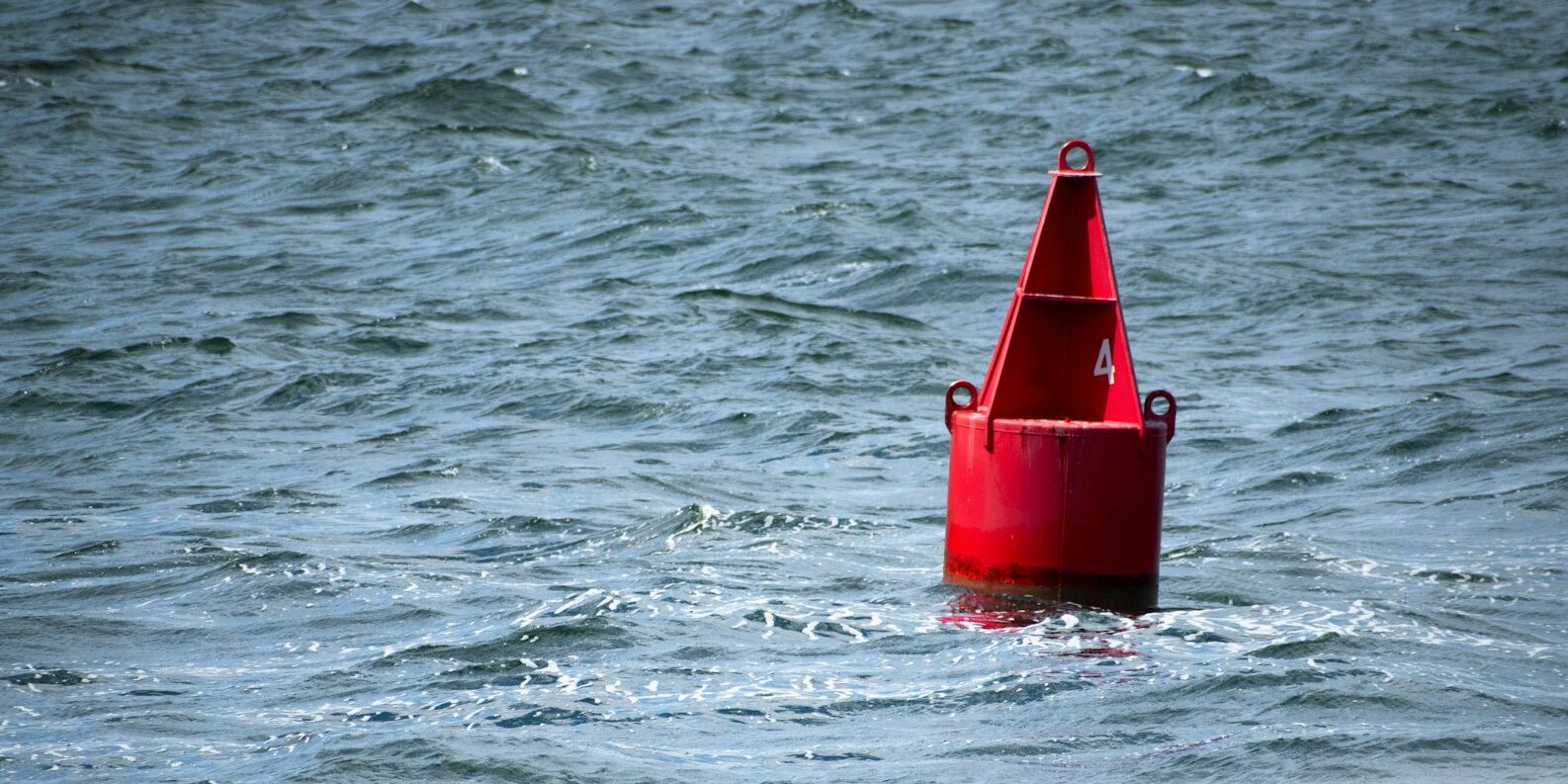
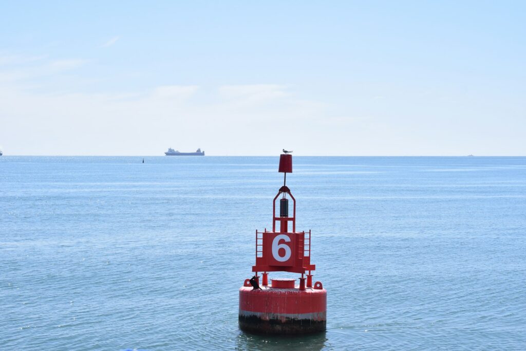
In Region A, so also in the North Sea, Baltic Sea and Mediterranean, in the direction of buoyage:
- Port side: red, cylindrical shape (can buoy), spar or pillar; as topmark a red cylinder; light, if any, red.
- Starboard side: green, conical shape (conical buoy), spar or pillar; as topmark a green cone point upwards; light, if any, green.
The characteristic of lights is largely free to choose internationally; in German waters the Seeschifffahrtsstraßen-Ordnung specifies a selection. If the buoys are numbered, the red ones carry even numbers and the green ones odd numbers, counted from seaward.
Memory aid: your own sidelights
A simple memory aid is provided by the boat you are sailing on. Under the Collision Regulations, every vessel carries a red sidelight to port and a green sidelight to starboard. In Region A, the buoys when entering fit exactly: red lies on the side of the red lantern, green on the side of the green one. For the shape, a picture is enough: green and starboard belong to the buoy that tapers to a point at the top, red and port to the buoy with a flat top.
What is the difference between IALA Region A and B?
The only difference lies with the lateral marks: in Region B the colours are reversed. There the port side is green and the starboard side is red; shapes and topmarks remain the same. All other groups of marks are identical in both regions.
Region B essentially comprises North, Central and South America as well as Japan, South Korea and the Philippines. Region A comprises Europe, Africa, Australia, New Zealand, the Gulf region and part of the Asian states. The exact boundaries are shown by IALA on a chart. Anyone setting off to the Caribbean for instance, will usually be sailing in Region B, but should check the buoyage in the chart before first entering harbour.
How do you read cardinal marks?
A cardinal mark tells you in which direction from the mark the safe water lies. So you pass a north mark to the north, a south mark to the south.
Cardinal marks are yellow and black, constructed as pillars or spars, and carry, where possible, two black cones one above the other as topmarks. They are independent of the direction of buoyage, so you need the compass for them.
Topmarks and colours
- North: both cones with points upwards, black above, yellow below.
- East: cones with bases together (points outwards), black with a broad yellow band.
- South: both cones with points downwards, yellow above, black below.
- West: cones with points together, yellow with a broad black band.
The colours can be derived from the topmark: black sits where the cone points point, so at the top for north, at the bottom for south, at top and bottom for east, and in the middle for west.
The light characteristic
Cardinal marks have white quick-flashing lights, either quick (50 or 60 flashes per minute) or very quick (100 or 120 flashes per minute). The number of flashes follows the clock face: east is at three, south at six, west at nine o'clock.
- North: continuous flashing.
- East: three flashes, then pause (very quick every 5 seconds, quick every 10 seconds).
- South: six flashes and one long flash of at least two seconds, then pause (very quick every 10, quick every 15 seconds).
- West: nine flashes, then pause (very quick every 10, quick every 15 seconds).
The long flash at south prevents you from confusing six and nine flashes when counting.
What other navigation marks are there?
In addition there are four further marks which look the same in Regions A and B.
Isolated danger marks
This mark stands directly on a small, limited danger with navigable water all around it, such as an isolated rock. It is black with one or more broad red horizontal bands and carries two black spheres one above the other. The light is white and shows a group of two flashes, matching the two spheres.
Safe water marks
Red and white vertical stripes, spherical or as a pillar or spar with a red sphere as topmark: this is what a mark looks like that indicates navigable water all around. It serves as a landfall buoy before a channel or marks its centre. The white light is either isophase, occulting, one long flash every ten seconds or the Morse code "A" (short-long). In German seagoing waterways only the first two are specified.
Special marks
Yellow marks with a yellow horizontal cross as topmark do not primarily serve navigation. They indicate special areas or facilities whose meaning is given in the nautical chart and in the nautical publications. The shape is optional, but must not be confusable with lateral marks. The light is yellow, with a characteristic not reserved for cardinal, isolated danger or landfall marks.
Wreck marks for new dangers
Newly discovered dangers not yet shown in the charts are marked with the usual marks, in cases of high risk with at least one duplicated mark. This is also the regulation in German seagoing waterways. For fresh wrecks the IALA system additionally provides its own wreck mark. It is blue and yellow vertical stripes (four to eight stripes), carries an upright yellow cross and shows alternating blue and yellow lights, each one second long with half a second pause in between. Blue does not otherwise occur in buoyage and therefore stands out immediately. The wreck mark is removed when the danger has been sufficiently promulgated or cleared.
The marks at a glance
The table summarises the characteristics for Region A (as at October 2026).
| Mark | Colour | Top mark | Light (if present) |
|---|---|---|---|
| Lateral Port | Red | Red cylinder | Red |
| Lateral Starboard | Green | Green cone, point upwards | Green |
| North | Black over yellow | Two cones, points upwards | White, quick flashing |
| East | Black with yellow band | Two cones, bases together | White, 3 flashes |
| South | Yellow over black | Two cones, points downwards | White, 6 flashes plus long flash |
| West | Yellow with black band | Two cones, points together | White, 9 flashes |
| Isolated danger | Black with red bands | Two black spheres | White, group of 2 flashes |
| Safe water | Red and white vertical stripes | Red sphere | White: isophase, interrupted, long flash or Morse "A" |
| Special marks | Yellow | Yellow horizontal cross | Yellow |
| Wreck marking (new danger) | Blue and yellow vertical stripes | Yellow upright cross | Blue and yellow alternating |
The complete specifications are set out in IALA Recommendation R1001 on the Maritime Buoyage System; for German waters, Seeschifffahrtsstraßen-Ordnung with its Annex I applies.
Buoyage in practice: what matters on board?
On board, a fixed sequence helps with quick identification.
- Recognise colour and shape: red or green, yellow-black, striped, yellow or blue-yellow.
- Check the topmark, as colours fade and are difficult to see against the light; silhouettes remain unambiguous.
- Find the buoy on the chart and verify by name or number.
- With lateral marks, quickly establish whether you are travelling with or against the direction of buoyage.
- At night, count the flashes, and do so several times before committing yourself.
Buoys can drag, their lights can fail, and not every shoal is marked. Buoyage therefore replaces neither the current chart nor the view of the echo sounder and plotter. Changes to buoyage are announced in official nautical warnings and chart corrections, in Germany through the BSH and the Wasserstraßen- und Schifffahrtsverwaltung, amongst others.
Buoyage only becomes reliable through practice out on the water, ideally with someone who asks: "Which buoy is that, and on which side do we leave it?"
Frequently asked questions
On which side do I leave the red buoy?
In Region A, the red buoy lies to port in the direction of buoyage, that is, coming from seaward. When leaving harbour, you leave it to starboard. In Region B it is the other way round.
What is the difference between lateral and cardinal marks?
Lateral marks indicate the sides of a channel and relate to the direction of buoyage. Cardinal marks relate to the compass and show on which side of the mark the safe water lies.
How can I remember the lights of cardinal marks?
Think of a clock face: East three flashes, South six plus one long, West nine. North flashes continuously.
How do I recognise a wreck that is not yet shown on the chart?
Often by doubled cardinal or isolated danger marks, as provided for in German Seeschifffahrtsstraßen. The IALA system also has its own wreck mark: blue and yellow vertical stripes, with a yellow cross and alternating blue and yellow light. Keep a generous distance and check the current nautical warnings.
Practise buoyage on trips and courses
Nowhere do you learn navigation marks faster than on the water. On Törnfinder you'll find sail training and Skipper trainingwhere approaching buoyed channels is part of the programme, and under Courses & Seminars offers for theory and practice covering navigation.