
This page was translated automatically from German. View the original
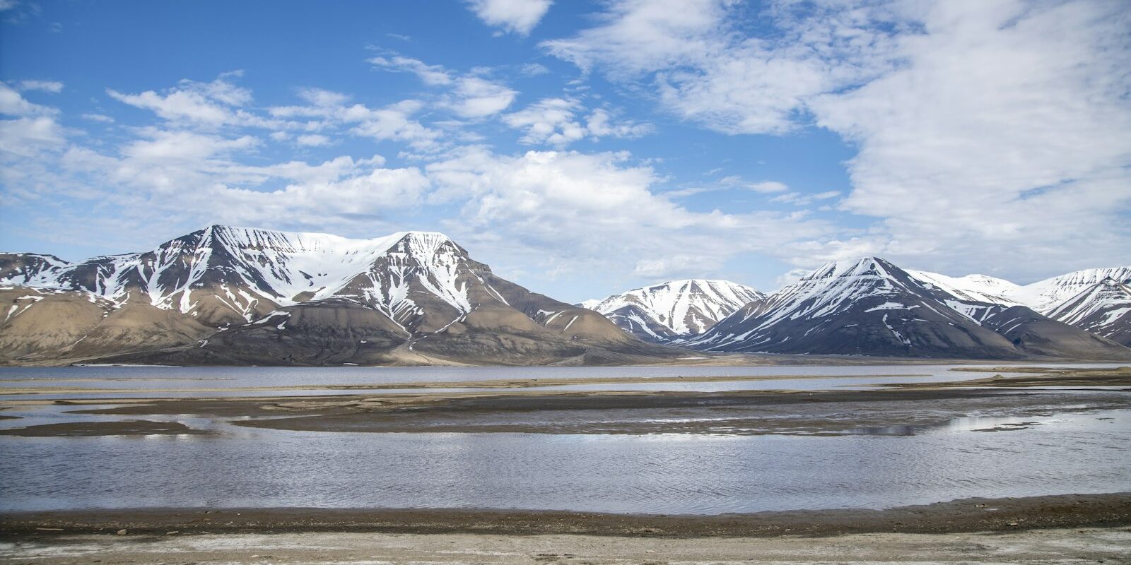
Longyearbyen lies on Svalbard at Adventfjord, a branch of Isfjord, and is the main settlement of the Norwegian archipelago of Svalbard. Here you can read how to get to Longyearbyen for your trip start, which quay the yachts berth at, where to provision, what sailing weather to expect, which destinations lie in Isfjord and what skippers need to bear in mind regarding berthing and formalities.
The essentials at a glance
- You fly to Longyearbyen from Oslo in about three hours or from Tromsø in about an hour and a half.
- Svalbard is not part of the Schengen Area. On flights to and from Svalbard every ID is checked; you need a passport or national identity card.
- Yachts berth at Turistkaia, a floating quay around two kilometres from the town centre: private leisure boats up to 24 metres on the inside, commercial charter and expedition boats on the outside.
- The only food shop in town is Svalbardbutikken in the centre. They also deliver provisions to boats.
- The main travel season is the polar summer from mid-May to the end of September. Drifting ice can occur in the fjord all year round.
Where is the port of Longyearbyen?
The port of Longyearbyen lies on the southern shore of Adventfjord, northwest of the town centre. Three quays lie next to one another along the shore over just under half a kilometre: at the very west lies Tenderkaia, where tenders from ships anchored in the fjord come ashore. Right next to it, around 130 metres further east, follows Bykaia, the main quay for cruise and cargo ships with the harbour office. Around 300 metres further southeast, already towards the town, lies Turistkaia with the berths for yachts, excursion and expedition boats.
Map from OpenStreetMap. When the map is displayed, data is transmitted to the provider.
More InformationIn addition there is a separate pontoon in the harbour for the inflatable boats (RIBs) from the town and a small boat harbour with permanent berths for local boats.
Arriving in Longyearbyen for your trip start
You get to Longyearbyen by air via Oslo or Tromsø. The harbour lies between the airport and the town centre.
From Svalbard Airport to the harbour
Svalbard Longyear Airport lies on the headland Hotellneset at Adventfjord, northwest of the town. Scheduled flights come from Oslo and Tromsø: direct from Oslo the flight takes about three hours, from Tromsø about an hour and a half. There are several connections per week all year round, significantly more from March to August, and in high season several times daily as well.
The airport bus runs to every arrival and before every departure, stops at all hotels and guesthouses in town and takes about 15 minutes. The journey costs 110 kroner (as at October 2026). A taxi will take you directly to the harbour; taxis run around the clock in Longyearbyen. The harbour is around four kilometres from the terminal as the crow flies.
Entry: passport or ID card
Svalbard belongs to Norway but lies outside the Schengen Area. That is why ID is checked on all flights to and from Svalbard, even for Norwegians. Take your passport or a national identity card with you, even if you are flying via mainland Norway.
Which quay is mine?
If you are arriving as crew: which quay it is will be stated in your trip documents. Turistkaia is around 350 metres long and occupied on both sides. Private leisure boats up to 24 metres berth on the inside. Commercial charter and expedition boats up to 60 metres berth on the outside, which is marked "CHARTER". Large cruise ships berth at Bykaia or anchor in Adventfjord; their passengers come ashore by tender at Tenderkaia.
Showers and sanitary facilities
There are showers and washing machines in the harbour, both for a fee. There is also a lounge with free Wi-Fi for harbour guests.
Shopping for the trip
For provisions you go to the town centre. There you'll find Svalbardbutikken, the only food shop in Longyearbyen, with fresh produce, bread and a cheese counter. Svalbardbutikken also delivers to boats setting off on trips around Svalbard. Because most goods arrive by ship from the mainland and fresh produce only on a few flights per week, you order larger quantities well in advance of your trip.
Part of Svalbardbutikken is Nordpolet, the only shop for alcohol on Svalbard. You can buy wine there freely, but beer and spirits only on presentation of your flight ticket.
As things stand (October 2026) there is temporarily no fresh water at the quays. Longyearbyen has had problems with tap water quality since 2025, and the municipality had not yet declared the water safe again by early 2026. Therefore plan to bring drinking water for your trip.
Doctor and emergency calls
Longyearbyen hospital is in the town centre. It has an A&E and a general practice; outside surgery hours you can reach the on-call medical service daily from 15:00 to 09:00 on +47 76 17 33 00. Anyone seriously ill or injured is flown to the mainland, depending on weather and flight connections. Tourists pay for treatment in full themselves. Because Svalbard does not belong to the Schengen Area, a European travel insurance policy may not cover you to the same extent as on the mainland.
- 112: emergency services
- 113: medical emergency
- VHF Channel 16: Distress and calling channel at sea
Longyearbyen harbour at a glance
In Longyearbyen harbour the Turistkaia is the berth for yachts, both private and commercial vessels.
| Feature | Longyearbyen harbour |
|---|---|
| Location | South shore of Adventfjorden, about 2 km from the town centre |
| Berth for yachts | Turistkaia: inside for leisure craft up to 24 m, outside for commercial craft up to 60 m |
| Turistkaia | floating quay, about 350 m long, usable both sides |
| VHF channel | 12, also 16 |
| Harbour office | +47 91 12 23 00, round the clock |
| Facilities | Electricity (16 A), diesel, showers, washing machines, Wi-Fi in lounge |
| Payment | Harbour payment app or machine at the quay |
At the Turistkaia there are 16-amp power connections for a fee. The harbour diesel pump is also at the Turistkaia; it is designed for boats up to 60 metres in length, and you pay at the card terminal. You dispose of general rubbish ashore; it is included in the berthing fee.
What is the weather like in Longyearbyen for sailing?
Over a wide area the wind on Svalbard blows mostly from the east to south-east, but mountains and fjords often deflect it. In valleys and fjords it is funnelled and can blow considerably stronger than outside; where two valleys meet there are powerful gusts. Katabatic winds are dangerous: cold air flows down from glaciers and plateaux and often sets in suddenly, even in clear skies and otherwise light winds.
The tides raise and lower the water by up to two metres. Drifting ice occurs in the fjord all year round. Fog can form very quickly; visibility then drops to a few metres.
The main travel season is the polar summer from mid-May to the end of September. Until the end of August the sun does not set.
Which trip destinations lie near Longyearbyen?
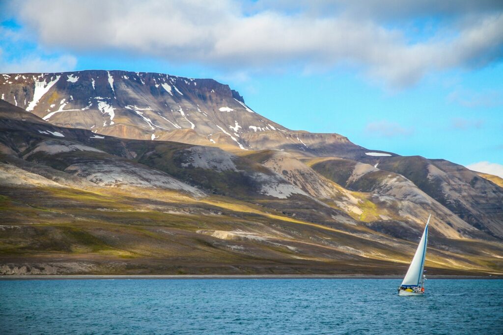
From Longyearbyen the destinations in Isfjorden, the large fjord system in the centre of Spitsbergen, are within day sails. From Adventfjorden you head north-west into Isfjorden and from there to the side fjords.
The distances are rounded water distances on the usual course from the Turistkaia. For exact planning consult the chart.
- Skansbukta: about 20 nm north, at the entrance to Billefjorden. The bay beneath the mountain Skansen is sheltered from most winds and has a good anchorage. On the beach stand remains of a gypsum mine from the 1930s and a hunting cabin.
- Trygghamna and Alkhornet: about 23 nm west on the north side of the Isfjorden entrance. At the bird cliff Alkhornet hundreds of thousands of Brünnich's guillemots breed. Anchorage is in the deep bay Trygghamna, which gives shelter from most winds.
- Barentsburg: about 25 nm south-west in Grønfjorden. The Russian mining settlement today has about 400 to 500 inhabitants, a hotel and the Pomor Museum. From the harbour office about 250 steps lead up into the settlement.
- Pyramiden: about 30 nm north on the west shore of Billefjorden. The mining settlement was abandoned in 1998.
- Nordenskiöldbreen: a good 30 nautical miles, opposite Pyramiden at the end of Billefjord. The glacier's calving face is around four kilometres wide.
Further away lies Ny-Ålesund on Kongsfjord, a former mining settlement that is now an international research centre. The route around the outside of Prins Karls Forland island is around 115 nautical miles long. The quay at Ny-Ålesund is accessible from May to October under normal ice conditions; book berths in advance by email.
What can you do on a harbour day in Longyearbyen?
The sights in town are in the centre. For walks beyond the town limits, one rule applies: outside the settlement you must carry a means of deterring polar bears.
- Svalbard Museum: The exhibition tells the story of the archipelago from whaling through hunting and expeditions to coal mining, and shows the wildlife from polar bears to walruses.
- North Pole Expedition Museum: Behind the UNIS university building, the museum displays the airship expeditions of Amundsen and Nobile and other voyages to the North Pole over two floors. It opens daily from 9 a.m. to 5 p.m. from February to September; from October to January it is closed.
- Svalbard Kirke: The world's northernmost church stands in the Skjæringa district and is open to visitors round the clock.
For skippers: Berthing, formalities and marine weather in Longyearbyen
You can reach the port of Longyearbyen on VHF channel 12 or by telephone on +47 91 12 23 00, round the clock. Monitor channel 16 as the distress and calling channel.
Registration and Berthing
- Private leisure craft up to 24 metres berth on the inside of Turistkaia, at the spot shown green as "AVAILABLE" on the harbour plan on the port's website.
- Commercial charter and expedition vessels up to 60 metres lie on the outside. The harbour office assigns their berth by telephone on arrival; it cannot be booked in advance. On departure, or immediately afterwards at the latest, the skipper sends the port a departure notification. If it arrives late, the next arrival is delayed.
- You pay the berthing fee within 30 minutes of arrival via the port's payment app or at the machine on the quay. Before you cast off, you pay for all services used.
- Turistkaia is not protected against weather and drift ice. If the harbour office instructs you to do so, the crew must be able to move the boat.
- Those who only refuel and stay at the diesel berth for less than 30 minutes pay no berthing fee if they notify the port.
Harbour rules
- In the harbour area you travel at no more than 5 knots.
- Night-time quiet hours apply from 11 p.m. to 7 a.m.
- Nothing is left lying on the quay, ashore or in the port's trolleys. The harbour is monitored by cameras.
Formalities with the Sysselmester
The Sysselmester is the Norwegian administration and police on Svalbard. These rules apply to yachts (as of October 2026):
- Anyone arriving in Svalbard with their own boat crosses the Norwegian border. You must register crew and guests in advance via the Norwegian ship reporting system SafeSeaNet. The skipper ensures that everyone on board has valid travel documents.
- For private trips in the so-called travel area around Longyearbyen, you do not need to register with the Sysselmester. The boundaries of the travel area are shown on the Sysselmester's map.
- For trips outside the travel area, you apply for the voyage at least four weeks in advance; it may only begin after receiving the Sysselmester's response. You need insurance or a guarantee for search, rescue and medical transport, depending on the zone 120,000, 350,000 or 650,000 kroner per operation, and equipment for two-way radio communication. No later than four weeks after the trip, you submit a report. The forms are on the Sysselmester's website.
- Every visitor pays an environmental fee of 150 kroner. For flights and cruises it is included in the ticket; those arriving with their own boat pay it themselves.
- You can have the MMSI and the numbers of your radio and satellite equipment registered with the Sysselmester so that rescue services can reach you more quickly in an emergency.
Polar bears, walruses and bird cliffs
- You must keep at least 300 metres' distance from polar bears, and at least 500 metres from 1 March to 30 June. If you discover a bear closer than permitted, you must withdraw. This also applies on board ships and boats.
- Outside settlements you must carry a means of deterring polar bears; the Sysselmester recommends a rifle in addition. In the town of Longyearbyen a loaded rifle is prohibited; no weapon may be taken into shops and public buildings.
- You must keep at least 150 metres' distance from haul-out sites where walruses come ashore; within a radius of 300 metres you travel at no more than 5 knots.
- At bird cliffs you travel at no more than 5 knots within 500 metres of land from 1 April to 31 August.
- Cultural monuments dating from before 1946 are protected, including remains of huts, graves and mining. A protection zone of 100 metres applies around them, within which no fires may be lit.
Approach
The Adventfjord is deep and clear, but it becomes shallow on both sides of the entrance and at the very end of the fjord. Off the headland Revneset opposite the airport lies a reef that shelves gradually. If you sail out into the Isfjord or approach from the northeast, keep well clear. In summer three spar buoys mark the reef in the direction of Hotellneset, but pack ice can easily shift them.
Along the quays runs a current that flows in and out of the fjord with the tides. Many waters around Svalbard are only incompletely surveyed; off glacier fronts, which change every year, depths are uncertain. The magnetic compass shows inaccurately in these latitudes.
Which marine weather forecast applies in Longyearbyen?
For Svalbard, the Norwegian Meteorological Institute (MET Norway) issues the official forecasts and warnings. You'll find them on the weather portal yr; wave forecasts are shown on the state portal BarentsWatch. The forecast for Longyearbyen does not automatically apply to other fjords, and the often computer-generated forecasts sometimes underestimate wind strength.
Important for trips around Svalbard is MET Norway's ice service. It issues an ice chart focused on Svalbard and the Barents Sea every weekday from Monday to Friday; there are none at weekends. You'll find the current charts on the ice service page.
Trips from Longyearbyen on Törnfinder
In October 2026 there are 12 trip dates on Törnfinder in the next twelve months with departure or destination in Longyearbyen. Most depart in July, April and October; typically they are 12 days.
Trips along the Norwegian coast you'll find under cabin charter in Norway, offers in all sailing areas in the trip overview.
Frequently asked questions
How do I get from Svalbard Airport to the harbour in Longyearbyen?
Most easily by taxi; the harbour lies about four kilometres from the airport as the crow flies. The airport bus runs for every flight but stops at the hotels in town, not at the harbour.
Do I need a passport for Svalbard?
Yes, or a national identity card. Svalbard lies outside the Schengen Area, so identity is checked on all flights to and from Svalbard.
Where do I shop in Longyearbyen for the trip?
At Svalbardbutikken in the town centre, the only food shop in town. They also deliver to boats; order larger quantities well in advance.
Are there showers in the harbour in Longyearbyen?
Yes, there are showers and washing machines in the harbour for a fee. You can use the common room with Wi-Fi free of charge.
When is the main travel season for trips from Longyearbyen?
The main travel season is the polar summer from mid-May to the end of September. The midnight sun shines until the end of August; drift ice can occur in the fjord all year round.
Must I carry a rifle against polar bears on Svalbard?
Outside the settlements, a means of scaring off polar bears is compulsory; the Sysselmester additionally recommends a rifle. Within Longyearbyen itself a loaded rifle is forbidden.
Which VHF channel does the harbour of Longyearbyen use?
Channel 12. You monitor channel 16 as the distress and calling channel; by telephone you can reach the harbour office round the clock on +47 91 12 23 00.