This page was translated automatically from German. View the original
The port of Coron lies off the town of Coron on the southern coast of Busuanga Island (Palawan Province) in the Philippines, opposite Coron Island. Here you can read how to get to Coron, where yachts lie off the town, where you shop, what weather to expect, which sailing destinations lie in Coron Bay and beyond, and what skippers need to know about marine weather.
The essentials at a glance
- There is no marina with pontoons in Coron: yachts lie at anchor off the town in Coron Bay. On the waterfront lies the Bayside Pier for excursion boats; at the southeast edge of town is the ferry port.
- Busuanga Airport (USU) is about 18 kilometres north-west of the town as the crow flies, with flights arriving from Manila, among other places. Ferries connect Coron with El Nido (about three and a half hours) and Manila (about 13 hours).
- Travellers from Germany, Austria, Switzerland and many other countries do not need a visa for stays of up to 30 days in the Philippines, but online registration via eTravel is mandatory.
- The dry season runs from December to May. From roughly late May to October the southwest monsoon brings frequent rain; typhoons are most common from July to October.
- Kayangan Lake on Coron Island is only around 3 nautical miles from the anchorage; the wrecks of Coron Bay are a short day's sail.
Where is Coron harbour?
Coron harbour is not an enclosed harbour basin but the water area of Coron Bay directly in front of the town. Yachts anchor south of the town centre, around 400 metres off Bayside Pier. The pier is on the waterfront promenade in the southwest of the town centre, where excursion boats depart. On the southeastern edge of town, a good kilometre further east, is the ferry port Coron Port with the harbour building of the state port authority.
Map from OpenStreetMap. When the map is displayed, data is transmitted to the provider.
More InformationOpposite, on the other side of the water, Coron Island rises with its steep limestone cliffs. The island is ancestral land of the Tagbanua. The sheltered Coron Bay lies between Busuanga, Coron Island and Culion. Coron belongs to the Calamian Islands group and is situated roughly halfway between Manila and Puerto Princesa, the capital of Palawan.
Arriving for your trip start in Coron
You can reach Coron by plane, for example via Manila, or by ferry. Ferries dock at the Coron Port ferry terminal on the south-eastern edge of the town, about one kilometre from the town centre. As things stand (November 2026), a night ferry from 2GO leaves Manila (North Harbor, Pier 4) once a week, on Fridays at 5.30pm, arriving in Coron the next morning after about 13 hours. Between Coron and El Nido, fast ferries from Montenegro Lines and Jomalia Shipping take about three and a half hours, and run much less often from June to September than during the rest of the year. A 2GO ferry runs to Puerto Princesa once a week and takes about 13 hours. Before that comes entry into the Philippines: citizens of many countries, including Germany, Austria and Switzerland, may enter without a visa for up to 30 days. Your passport must still be valid for at least six months when you leave, and you must show a ticket for onward travel within those 30 days. If you stay longer, apply for a visitor visa at the Philippine embassy before you travel. You must also register free of charge within 72 hours before arrival in the online system eTravel, and you show the QR code even before departure (as of November 2026).
From Busuanga Airport to Coron
The airport's official name is Francisco B. Reyes Airport, but it is commonly known as Busuanga Airport, and its code is USU. It is located on Busuanga within the municipality of Coron, about 18 kilometres north-west of the town as the crow flies, and is operated by the Philippine aviation authority. Flights arrive from Manila, among other places. The airport and the town are on the same island, and the distance by road is about 22 kilometres. In the town centre there is a terminal for the airport shuttles, about 400 metres from Bayside Pier.
Shopping for the trip
In the town centre of Coron there are small shops for initial provisions, such as JSB Store around 350 metres from Bayside Pier and around 200 metres from the town centre.
The town's public market, the Coron Public Market, is on the waterfront about 500 metres east of Bayside Pier. You will find cash machines and banks, including Metrobank, PNB and BPI, in the town centre near the middle of town.
Doctor, pharmacy and emergency services
In the town centre are several pharmacies, including TGP, Jhunbelle Drug Store and Xion's Pharmacy, all between around 300 and 700 metres from Bayside Pier. Coron District Hospital is around one kilometre north of the town centre.
- 911: national emergency number, free of charge
- Philippine Coast Guard: +63 2 8527 8481, by text +63 917 724 3682 or +63 918 967 4697
- Coastguard station Coron (at the ferry port): +63 953 443 5946
- at sea: VHF channel 16, the international distress and calling channel
What does Coron harbour offer?
Coron harbour is an anchorage off the town with a pier and ferry port; there are no pontoons or berths for yachts. The key details at a glance:
| Feature | Details |
|---|---|
| Anchorage position (approximate) | 11° 59,6′ N, 120° 12,2′ O |
| Type | Anchorage in Coron Bay off the town |
| Landing places | Bayside Pier on the waterfront promenade (excursion boats), ferry port Coron Port on the southeastern edge |
| Port authority | Philippine Ports Authority (ferry port) |
| Provisioning in the village | small shops, pharmacies, hospital, petrol stations |
| Busuanga Airport (USU) | around 18 km as the crow flies |
Equipment
At the ferry port stands the Philippine Ports Authority terminal building, inaugurated in 2023 and designed for about 900 passengers. Right next to it are a fuel station and the coastguard station.
What is the sailing weather like around Coron?
The sailing weather is determined by two monsoons. From roughly late October to March, the northeast monsoon, called Amihan in the Philippines, blows with dry air and at times rough seas. After that, the wind shifts to the east and the warm dry season begins.
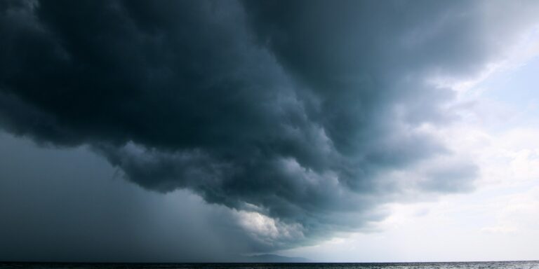
From roughly late May, the southwest monsoon, the Habagat, blows. It brings frequent rain and thunderstorms, particularly in the west of the country, and usually ends in October. The main typhoon season falls during this period, from July to October.
In strong winds, the weather service PAGASA issues storm warnings for coastal waters. These state whether the passage is already risky for small boats or for vessels of all sizes.
When a tropical cyclone approaches, PAGASA also raises wind signals for provinces or individual municipalities. Signal No. 1 announces winds of 39 km/h (22 knots) or more within 36 hours, and the highest level, No. 5, winds of 185 km/h or more. Out on open water, it is often windier than the signal for the land indicates.
Which cruising destinations can you reach from the harbour of Coron?
From Coron, Coron Island and the wrecks lie right on your doorstep, Culion is a short day's sail, Calauit and El Nido are long passages. The distances are rounded over-water distances on the usual course; for precise planning, the chart applies.
| Destination | Distance | Kurs |
|---|---|---|
| Kayangan Lake (Coron Island) | around 3 nm | south across to Coron Island |
| Wrecks of Coron Bay | around 10 nm | west into the western part of the bay |
| Culion | around 13 nm | west-southwest through Coron Bay |
| Calauit | about 40 nm | west, around the southwest point of Busuanga and north |
| El Nido (Palawan) | around 70 nm | southwest between the Calamian Islands |
Kayangan Lake and Coron Island
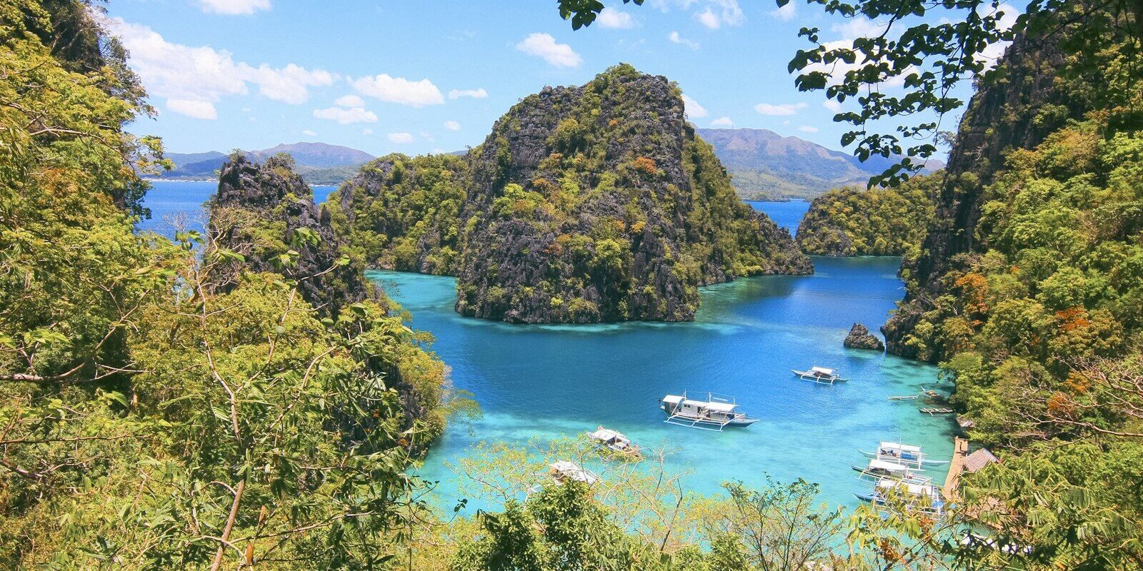
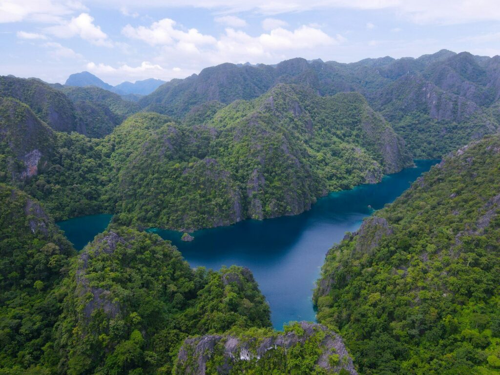
Coron Island is a wedge-shaped limestone island with vertical rock faces up to 600 metres high. Inside lie eight larger and three smaller lakes with brackish water, connected underground to the sea. The best known is Kayangan Lake on the northwest side, only a short distance from the anchorage off Coron. The entire island, together with the surrounding fishing grounds, has been recognised since 1998 as ancestral land of the Tagbanua, around 22,000 hectares. Some of the lakes are sacred to the Tagbanua. The island is also on the Philippines' tentative list for UNESCO World Heritage status.
The wrecks of Coron Bay
During the Second World War, Japanese warships and freighters lay at anchor in the sheltered Coron Bay. Several of them were sunk in an American air raid in 1944. Their wrecks in the western part of the bay now make Coron Bay a well-known diving area; their positions are shown on the chart.
Culion
The island of Culion lies west of Coron Bay. In 1906, a colony for leprosy patients was founded on Culion. On the grounds of what is now Culion Sanitarium and General Hospital, the Culion Museum and Archives displays the history of the island, the lives of the patients, and the path to curing the disease with modern medicines in a two-storey building.
Off Culion, lit buoys have been laid, including lateral buoys, two south cardinal buoys and an isolated danger buoy. For Coron Bay, the official Philippine chart no. 1553 applies.
Calauit
Calauit lies off the northwest coast of Busuanga. The roughly 3,400-hectare island has been a wildlife sanctuary since 1976; hunting and disturbing the animals are prohibited there.
El Nido
El Nido lies at the northern tip of the main island of Palawan, around 70 nautical miles southwest of Coron. That is a long day's sail, which you can break with a stop between the Calamian Islands.
What can you do on a harbour day in Coron?
For a day ashore, the viewpoint hill above the town and the hot spring are good options. Excursion boats to Kayangan Lake and Twin Lagoon on Coron Island depart from Bayside Pier.
Mount Tapyas
Mount Tapyas is the second-highest mountain in the municipality. You climb more than 700 steps to the top, where you get a wide view over the town and the harbour. Many visitors come up, especially at sunset.
Maquinit Hot Spring
Maquinit is a hot salt-water spring; the water is about 38 degrees.
Kasadyaan Festival
At the end of August, Coron celebrates the Kasadyaan Festival around the feast day of the town's patron saint, Saint Augustine, on 28 August. The programme includes processions and masses, parades, traditional dances and street dancing in colourful costumes.
For skippers: Anchoring and sea weather in Coron
In the harbour of Coron you lie at anchor in Coron Bay off the town; there is no marina berth. Sea weather comes from the state weather service PAGASA.
Which sea weather forecast applies around Coron?
The authoritative sea weather forecast is from PAGASA, the weather service of the Philippines. The Shipping Forecast for sea area Metarea XI gives wind direction and strength, wave height and weather for the next 24 hours for individual zones, including Palawan and Mindoro. It begins with current storm and typhoon warnings.
Additionally, PAGASA issues Gale Warnings for coastal waters up to 30 nautical miles offshore when there are strong winds, with wind, sea state and wave height for each coastal section. Tropical cyclones have their own bulletins. All reports can be found on the PAGASA website.
Trips from Coron on Törnfinder
All current offers can be found in the trip overview.
Frequently asked questions
How far is Busuanga airport from Coron?
Around 18 kilometres as the crow flies. The airport is northwest of the town on the same island of Busuanga.
Is there a marina in Coron?
No. Yachts lie at anchor off the town in Coron Bay. On the waterfront promenade is the Bayside Pier for excursion boats; the ferry harbour is at the southeast edge.
Do I need a visa for the Philippines?
Not with a passport from Germany, Austria, Switzerland and many other countries, as long as you stay at most 30 days. Your passport must be valid for six months beyond departure, and you register on eTravel in the 72 hours before arrival.
Where do I shop in Coron for the trip?
In the small shops in the town centre behind the waterfront promenade, for example at JSB Store, about 350 metres from Bayside Pier. The Coron Public Market is on the waterfront, about 500 metres east of the pier.
When is the best time for a trip from Coron?
In the dry season from December to May. From about late May to October it rains more frequently with the southwest monsoon, and from July to October most typhoons pass over the Philippines.
How far is it from Coron to El Nido?
Around 70 nautical miles by sea. The route leads southwest between the Calamian Islands to the northern tip of Palawan.
Is there a ferry from Coron to El Nido?
Yes. As of today (November 2026), fast ferries run between Coron and El Nido in about three and a half hours, several times a week, but much less often from June to September.