
From the Alabaster Coast to the Cotentin, Part 2
 Johanna

 (4)
This page was translated automatically from German. View the original
Your experiences...
+ You sail along the Normandy coast to the D-Day landing beaches and the Îles Saint-Marcouf.
+ You discover Normandy's maritime tradition – oyster farming, Vauban fortifications and historic harbour towns such as Saint-Vaast-la-Hougue and Barfleur.
+ You master demanding coastal and tidal navigation all the way to the imposing roadstead of Cherbourg.
You come aboard in Ouistreham and set course for Port-en-Bessin. This lively fishing harbour lies in the heart of the landing-beach landscape. Here we encounter maritime tradition and the eventful history of D-Day. We then continue towards the Îles Saint-Marcouf. The two small islands, with their striking historic fortifications, lie like outposts in the Baie de Seine. We experience them from the water, respecting the protected areas of the bird reserve. Our next destination is Saint-Vaast-la-Hougue. The harbour is known for its oyster farming and for the island of Île Tatihou opposite. The two Vauban towers, which are part of the UNESCO World Heritage, define the look of the bay. We will probably spend Ascension Day in Barfleur, one of the prettiest small harbour towns in Normandy. Granite façades, fishing boats and the view of the Gatteville lighthouse give this place its special character. To finish, we sail to Cherbourg. The approach into the vast roadstead is an impressive experience. This is where this week's sailing trip ends.
Embarkation: in Ouistreham on the day of arrival between 1 and 2 pm.
Disembarkation: in Cherbourg on the last day, after breakfast and tidying the boat together, at around 10 am.
Tip: this sailing trip combines superbly with the preceding and subsequent trips. Save 20% on the contribution to boat costs from the second trip onwards.
Blue Cruise - everything may, nothing must.
© 2026 www.bc2020.de
Map from OpenStreetMap. When the map is displayed, data is transmitted to the provider.
More InformationMap from OpenStreetMap. When the map is displayed, data is transmitted to the provider.
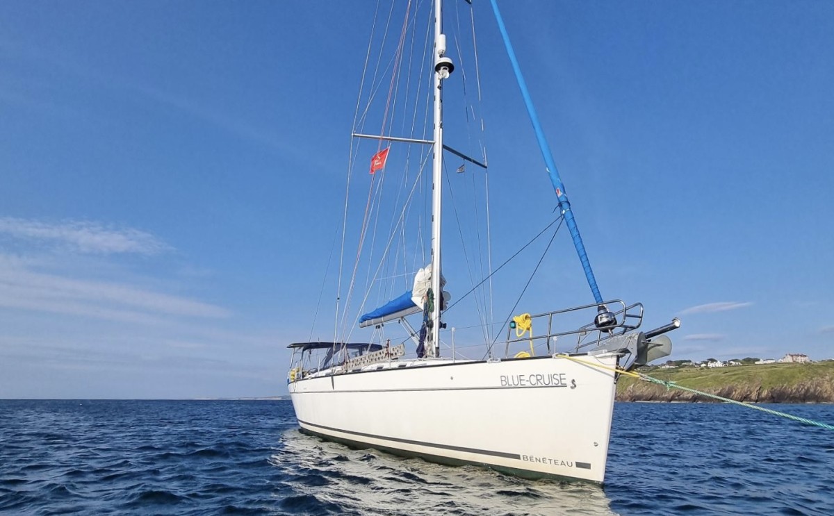
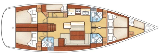
More InformationBénéteau Cyclades 50.5
50 feet