This page was translated automatically from German. View the original
Port St. Charles lies on the north-west coast of Barbados, just north of Speightstown, and, alongside the deep-water harbour of Bridgetown, is the island's second place where yachts can clear in. Here you can read how to get there from the airport, where the marina is, where to park and shop, what sailing weather to expect, which destinations are within reach, and what skippers should bear in mind when clearing in and berthing.
The essentials at a glance
- From Grantley Adams airport in the south of the island, it is around 45 minutes to Port St. Charles. An official airport taxi to Speightstown costs 144 Barbados dollars (as of November 2026).
- Visiting yachts berth at the outer mole of Port St. Charles. Behind the mole lies a lagoon, around which the houses and apartments of the development are grouped.
- The nearest supermarkets are in Speightstown, around 1.2 kilometres south of the marina.
- The trade winds blow from easterly directions almost all year round. The hurricane season runs from 1 June to 30 November.
Where is Port St. Charles marina?
Port St. Charles lies in the parish of St. Peter on the west coast of Barbados, directly north of Speightstown. Visiting yachts moor at the outer mole, a curved breakwater with a helipad at its southern end. The berths are on the inner side of the mole, and behind it opens the lagoon with the residential developments. To the south, Heywoods beach adjoins, and the centre of Speightstown is around a kilometre further south.
Map from OpenStreetMap. When the map is displayed, data is transmitted to the provider.
More InformationThe capital Bridgetown, with its deep-water harbour and Carlisle Bay, lies further south along the same coast, around 16 kilometres from Speightstown.
Arriving for the start of your trip in Port St. Charles
You travel via Grantley Adams Airport. From there, you continue by taxi, hire car or bus across the island to the northwest coast.
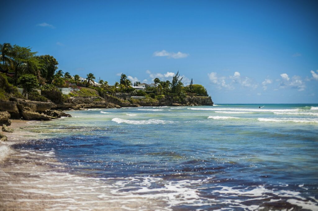
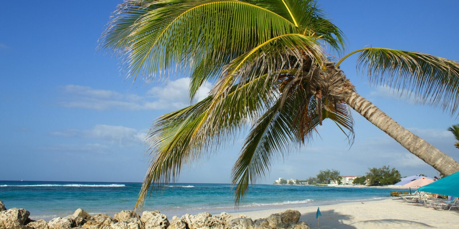
Symbolic image
From Grantley Adams Airport to Port St. Charles
Barbados's only international airport is Grantley Adams International, in the south of the island. The journey to Port St. Charles takes around 45 minutes. Before you arrive, complete the online Barbados entry form for customs and immigration.
Around 280 licensed taxis wait at the airport. You can recognise them by a yellow "Authorised Taxi" sticker on the side. Fares are fixed. As things stand (November 2026), the 32.9 road kilometres to Speightstown cost 144 Barbados dollars. If you have a lot of luggage, you will need a van, which costs one and a half times as much. Before you set off, the taxi dispatcher will give you a fare slip.
By hire car or bus
Three licensed car hire companies have desks to the left of the exit from the arrivals hall. To hire a car, you need a visitor's driving permit. It costs 10 Barbados dollars, is issued by the hire company or the licensing authority, and is valid for two months. In Barbados you drive on the left, and wearing a seat belt is compulsory.
Public buses stop on the main road in front of the airport and run hourly to Bridgetown; a single journey costs 3.50 Barbados dollars (as of November 2026). The blue-and-yellow government buses, the yellow minibuses and the white ZR vans with red stripes serve almost every route on the island. With luggage for a sailing trip, a taxi is the more comfortable choice.
Parking
The nearest public car park is Heywoods Beach Parking on the beach, about 200 metres south of the lagoon. Further car parks can be found in Speightstown on Church Street and on Highway 1B, about one kilometre away. Port St. Charles itself is a guarded complex with access control.
Shopping for the trip
For provisions, head to Speightstown. Eddies Supermarket is about 1.2 kilometres from the marina. Jordan’s Supermarket, about 1.5 kilometres away, is a good choice for basic shopping. For a wider selection, including imported fruit and familiar brands, there is the Massy Stores supermarket in Sunset Crest, which you can reach by car or taxi.
Speightstown also has a waterfront fish market and a market selling fruit, vegetables and root vegetables from traders in the north of the island. The tap water in Barbados is safe to drink. You can pay in Barbados dollars, and US dollars are accepted everywhere.
Doctor, pharmacy and emergency services
The nearest pharmacies are in Speightstown: Pharmico is about 1.1 kilometres from the marina and the Whole Health Pharmacy about 1.5 kilometres. The state-run Maurice Byer Polyclinic is also in Speightstown, about 950 metres away. The island's main hospital with an emergency department is the Queen Elizabeth Hospital in Bridgetown, about 19 kilometres from the marina.
- 211: Police
- 311: Fire brigade
- 511: Ambulance
- At sea: coastguard on VHF channel 16 (call sign 8PZ) or by telephone on +1 246 430 4782
What does Port St. Charles offer?
Port St. Charles is a marina with a holiday and residential complex, a restaurant and its own beaches. For visiting yachts there are six berths on the outer mole, designed for large yachts. Customs, the immigration authority, the coastguard and the police are all on site.
| Details | Port St. Charles |
|---|---|
| Location | Northwest coast of Barbados, St. Peter, north of Speightstown |
| Green light at the pier head | 13° 15,769′ N, 059° 38,685′ W |
| Guest berths | 6 berths on the outer mole |
| Depth at the outer mole | 13.5 feet at low water |
| VHF | Channel 77 or 16 |
| Einklarieren | Yes, customs and immigration on site |
| Dockmaster telephone | +1 246 419 1000, extension 2230 |
| Website | portstcharles.com |
Equipment
On the outer mole you can get diesel and unleaded petrol, water, and 50 hertz electricity: single-phase at 120 or 208 volts and three-phase at 220 or 415 volts. Telephone connections and waste disposal are also available. The Pier One restaurant, on a small island within the complex, is also open to outside guests and overlooks the marina and beach. Opening hours vary with the season, so booking is advisable. Within the complex, water taxis connect the beaches, the lagoon and the restaurant.
What is the weather like for sailing in Port St. Charles?
Almost all year round, the trade wind blows over Barbados from the northeast to east.
The hurricane season in the Atlantic runs from 1 June to 30 November, and is most active between mid-August and mid-October. The Barbados Meteorological Service warns of storms and dangerous weather, issuing its own bulletins for tropical storms.
Which sailing destinations are near Port St. Charles?
Along its own coast, Bridgetown is the next destination; you can reach all the other islands only across open water.
- Carlisle Bay and Bridgetown: The bay on the southern edge of the capital is the anchorage for foreign yachts. After clearing in, you anchor north of the bandstand, near the boatyard. In the inner basin of the old town harbour, the Careenage, there are berths alongside. For every anchorage or stop along the coast, you need permission from Customs and the harbour master beforehand.
- St. Lucia: The island lies northwest of Barbados. In the north of St. Lucia lies the Rodney Bay Marina, a port of entry with a marina in a lagoon.
- Martinique: The French island lies northwest of Barbados, north of St. Lucia. In the south of the island lie the marinas of Le Marin.
- The Grenadines: The island group lies west of Barbados.
- Tobago: The island lies south-southwest of Barbados.
For every destination outside Barbados, you clear out beforehand. For precise planning, the nautical chart is what counts.
What can you do on a harbour day in Port St. Charles?
Speightstown is the northernmost town in Barbados and was once the island's first major port and trading centre. You can reach the sights in town on foot from the marina.
- Heywoods Beach: The sandy beach begins directly south of the Port St. Charles lagoon.
- Speightstown Esplanade: The shady waterfront promenade with views of the sea begins at the fish market, about 1.2 kilometres south of the marina. Where the fish market stands today, Orange Fort once stood, with Forts Coconut and Denmark nearby. Old cannons can still be seen on the shore.
- St. Peter’s Parish Church: The church in Speightstown, about 1.1 kilometres away, was built of limestone in 1837 and rebuilt after a fire in 1983. The number seven appears again and again in the windows, roof sections and the stained-glass window.
- Arlington House: The three-storey merchant's house dating from around 1750, about 1.4 kilometres away, is now an interactive museum about Speightstown, the plantation era and the old harbour.
- Mural at Jordan’s Supermarket: On the north wall facing the beach, an 80-foot mural in trompe-l’œil style shows scenes from Barbados.
For skippers: clearing in, berthing and marine weather in Port St. Charles
Port St. Charles is an official port of entry. In Barbados, you may clear in and out only here and at the deep-water harbour in Bridgetown.
Clearing in at Port St. Charles
Customs, immigration, the coast guard and the police are all represented in Port St. Charles. To clear in, you need the following, according to the requirements of the port authority Barbados Port Inc.:
- Customs: three copies of Form C61, the clearance from the last port and a crew list
- Immigration: two crew lists and the passports of everyone on board
- Health authority: a health declaration
To clear out, you present the port authority's clearance, the Customs clearance, one crew list each for Customs and immigration, and all passports. The clearance is valid for 24 hours.
Anyone leaving the crew after clearing in, for example to fly home after the trip, goes to the immigration authority together with the skipper. Immigration allows signing off only once the skipper has agreed, and Customs checks the luggage beforehand. Foreign yachts may not be chartered out, rented out or used for other paid business during their stay in Barbados.
Registration and Berthing
You can reach the marina on VHF channel 77 or 16. The dockmaster can also be reached by telephone on +1 246 419 1000, extension 2230.
Approach
The entrance lies at the southern end of the outer breakwater, by the helipad. A green light stands there at 13° 15,769′ N, 059° 38,685′ W. Southeast of the entrance lies Tom Snooch Reef, which is marked by red buoys and lines of buoys. Further south there is a green buoy with a white flashing light.
Which marine weather forecast applies to Barbados?
The responsible authority is Barbados' weather service, the Barbados Meteorological Services. On its website barbadosweather.org it publishes a five-day marine forecast, warnings and advisories and, where necessary, tropical storm bulletins. The forecasts are also available in the weather service's app, via a WhatsApp channel and by weather phone on +1 246 976 2376.
Sailing trips from Port St. Charles on Törnfinder
You can find sailing trips around Barbados and to the neighbouring islands at Sailing in the Caribbean, Atlantic crossings under Cabin Charter for a Transatlantic Crossing and all sailing areas in the trip overview.
Frequently asked questions
How do I get from the airport to Port St. Charles?
The easiest way is with a licensed airport taxi; the journey takes around 45 minutes. As things stand (November 2026), the fare to Speightstown is 144 Barbados dollars, and one and a half times that for a van if you have a lot of luggage.
Where do I park at the start of my trip in Port St. Charles?
At Heywoods Beach Parking by the beach, around 200 metres south of the lagoon. There is more parking in Speightstown, around one kilometre away.
Where do I buy provisions for my trip in Port St. Charles?
In Speightstown, around 1.2 kilometres to the south. There are several supermarkets there, including Jordan’s Supermarket, as well as a fish market. Massy Stores in Sunset Crest has a wider selection and can be reached by car.
Can I clear in at Port St. Charles?
Yes. Apart from the deepwater harbour in Bridgetown, Port St. Charles is the only place in Barbados where yachts can clear in and out. Customs and immigration are on site.
Which VHF channel does Port St. Charles use?
You can reach the marina on channel 77 or 16. The Barbados Coast Guard monitors channel 16.
When is the hurricane season in Barbados?
From 1 June to 30 November, with the greatest activity between mid-August and mid-October. This is also when most of the rain falls.