

This page was translated automatically from German. View the original
The winds in the Mediterranean region significantly shape the weather and sea conditions in this area. Which winds are best known here? In this article you will receive a comprehensive overview of the most important Mediterranean winds such as Bora, Scirocco, Meltemi and Mistral and their characteristic features.
The essentials at a glance
- The article describes the most important winds in the Mediterranean and their unique features as well as their effects on the weather and sea conditions.
- The Meltemi, a prevailing summer wind in the Aegean, and the Bora, a cold katabatic wind from the east/northeast, are two of the most influential winds in the Mediterranean, bringing sailing challenges and weather-related uncertainties.
- The article covers various wind systems in the Mediterranean region, including the Scirocco, a hot wind from the Sahara, and the Mistral, a cold katabatic wind from the Rhône valley, which have significant meteorological influences, including dust haze and sharp temperature drops that are characteristic of the western Mediterranean.
The most common Mediterranean winds
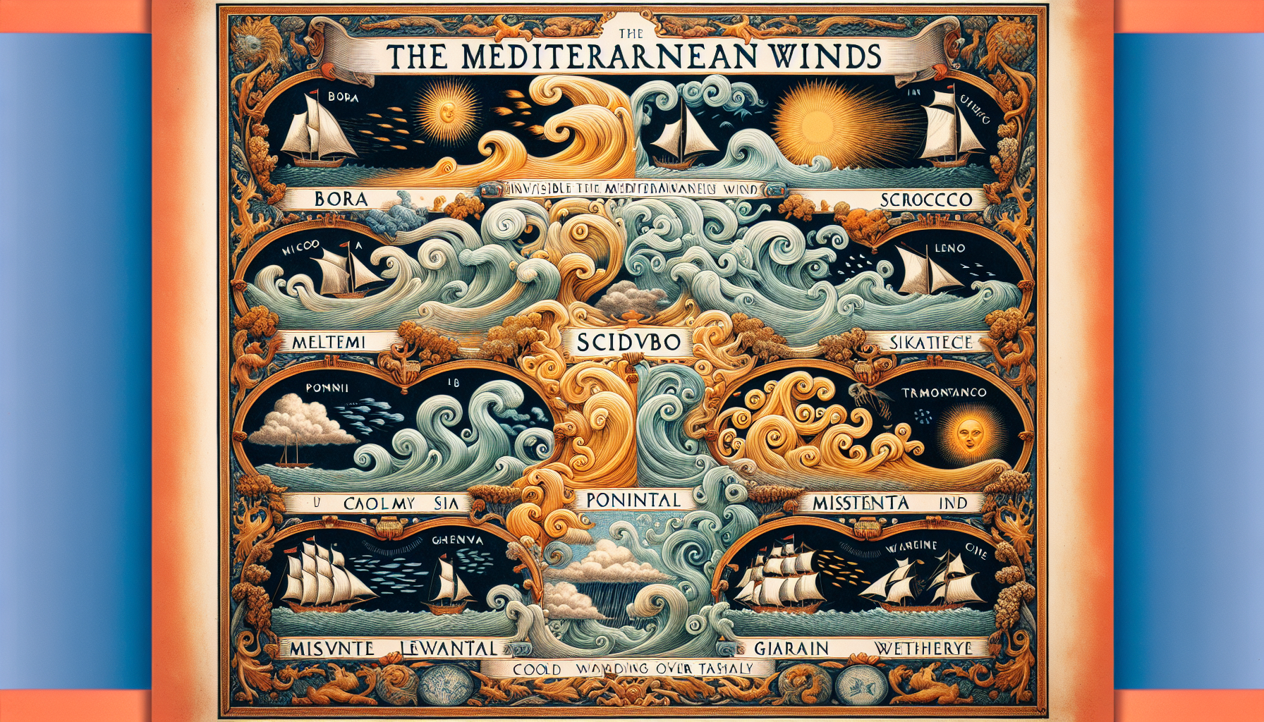
The Mediterranean is shaped by a variety of winds that significantly influence life and activities in this region. The knowledge of Mediterranean winds is of crucial importance for anyone venturing onto the Mediterranean – whether as a sailor, fisherman or holidaymaker. Understanding and recognising these winds is essential. The most important Mediterranean winds, which we will examine more closely in this article, are:
- Bora
- Scirocco
- Meltemi
- Mistral
- Tramontana
- Libeccio
- Levante
- Poniente
- Marin
Each of these winds has its own characteristic features and influences the weather and sea conditions in different ways.
One of the best-known and most influential winds is the Meltemi, also known as the Etesian winds. This prevailing summer wind in the Aegean brings not only pleasant refreshment but also ensures good weather. The Meltemi is created by a fascinating combination of high-pressure systems over the Balkans and low-pressure systems over Turkey.
In contrast stands the Tramontana, a cold northeasterly wind that occurs particularly in Italy, Croatia, southern France and northern Spain and is known for its sudden, strong gusts. This diversity of winds makes the Mediterranean a complex and fascinating meteorological region, which we shall now explore in detail.
Bora: Cold katabatic wind from the north
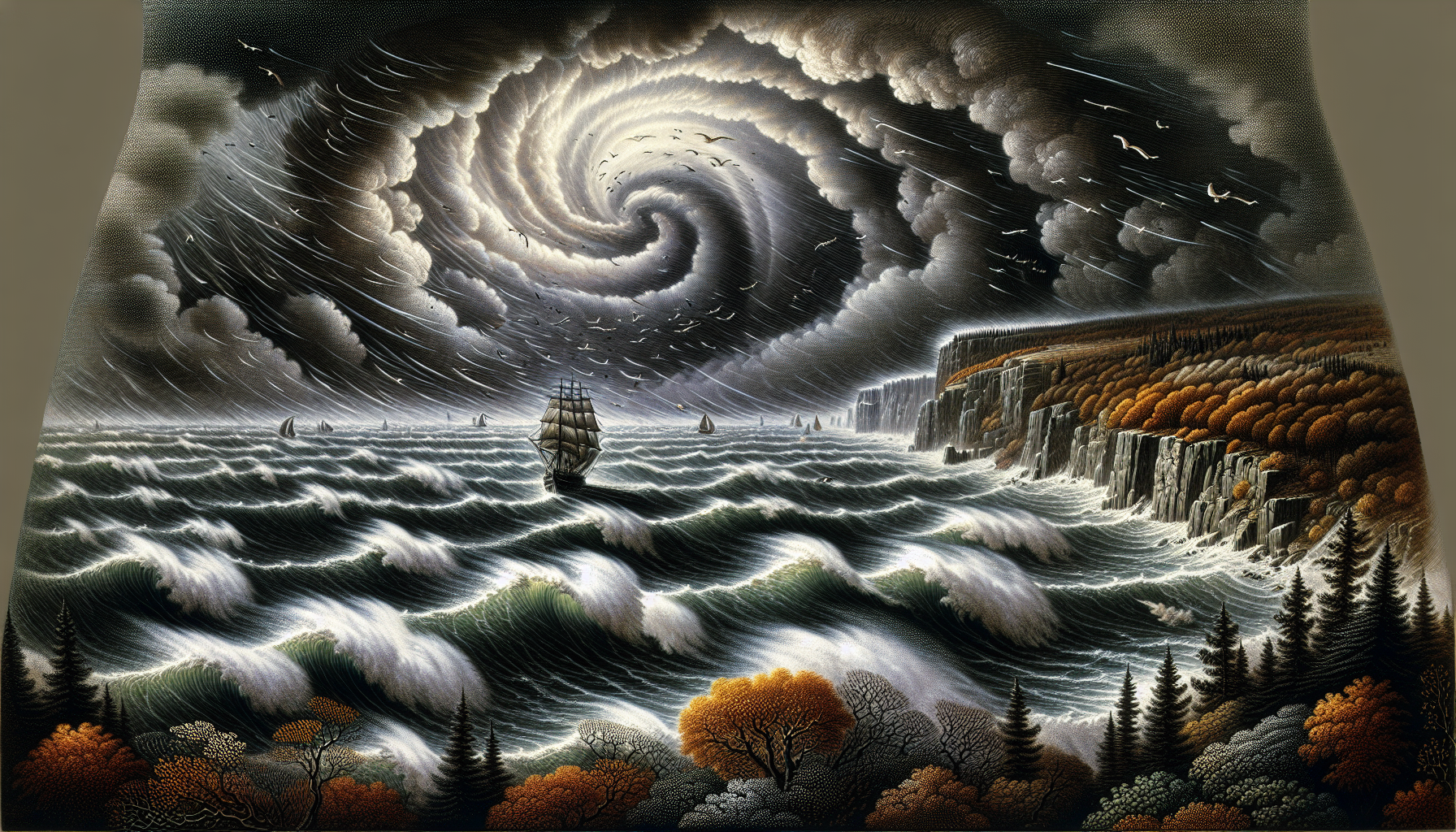
The Bora, a name that commands equal respect from experienced sailors and coastal residents, is an impressive natural phenomenon of the eastern Adriatic region. This cold, stormy katabatic wind from the east/northeast is known for its sudden and powerful character. The Bora can reach wind speeds that challenge even experienced skippers. In extreme cases, the Bora can reach wind speeds of up to 130 knots, which presents great challenges even to experienced seafarers. These extreme wind speeds are characteristic of the Bora and make it one of the most dangerous winds in the Mediterranean region.
The Formation of the Bora is a fascinating meteorological phenomenon caused by a combination of various factors. Here are the key steps that lead to the formation of the Bora:
- Cold air masses inland: The Bora develops when cold air masses accumulate inland, particularly over the Dinaric Alps and the Karawanks. These cold air masses often originate from Russia or Siberia and move southwards and westwards.
- High-pressure areas in the north: At the same time, a high-pressure area forms north of the Alps. This high-pressure area intensifies the pressure difference between the cold interior and the warmer Mediterranean.
- Low-pressure areas over the Mediterranean: Over the Adriatic Sea and the Mediterranean, a low-pressure area frequently develops. This low-pressure area is created by the relatively warm and humid air over the sea, which rises and leaves a vacuum behind.
- Pressure gradient: The interaction of high-pressure areas in the north and low-pressure areas over the Mediterranean creates a strong pressure gradient. This pressure gradient generates an airflow that moves from the high-pressure area to the low-pressure area.
- Topographical influences: The Dinaric Alps and other mountain ranges act as a barrier that dams up the cold air masses. When these cold air masses finally flow over the mountains, they accelerate and descend towards the coast and sea. This is known as a katabatic wind.
- Acceleration of air masses: When crossing the mountain ridges and descending towards the sea, the air masses accelerate due to gravity and the narrow valleys. This acceleration leads to the typical strong and gusty winds of the Bora.
- Local effects: The geography of the Adriatic coast further amplifies the Bora. Narrow valleys and straits act like nozzles, increasing the wind speed even more. This leads to the extremely high wind speeds that are characteristic of the Bora.
The combination of these factors leads to the sudden and violent gusts of the Bora, which occur particularly in winter and significantly affect the weather and sea conditions in the region.
The cyclonic Bora, which arises in connection with low-pressure systems, often manifests through rapid cooling and a marked increase in cloud cover. This type of Bora is usually more intense and brings stronger gusts. Another typical sign is falling air pressure, indicating the approach of a low-pressure system.
The anticyclonic Bora, which is associated with high-pressure systems, announces itself through clear skies and stable weather conditions. Rising air pressure and lower humidity are characteristic features. This Bora is generally less intense, but still strong enough to alert sailors and coastal residents.
The main occurrence of the Bora is concentrated on the eastern Adriatic coast, particularly in the area between Trieste and the Montenegrin coast. An interesting statistical observation shows that in Trieste approximately 30% of winds come from east-north-east, which corresponds exactly to the direction of the Bora. This frequency underlines the importance of this wind for the region and explains why local residents and sailors are always vigilant when the signs of an approaching Bora increase.
The effects of the Bora on shipping are considerable. Its sudden and violent gusts can pose significant dangers to ships and their crews. The strong and gusty winds of the Bora generate short and steep waves that can be particularly dangerous for shipping. These waves arise from the sudden and powerful nature of the Bora, which whips up the water in the Adriatic . Sailors and fishermen must prepare for these rough conditions, as Bora waves can appear quickly and unpredictably.
Meltemi: Summer wind of the Aegean
As we continue our journey through the Mediterranean winds, we encounter the Meltemi, a characteristic summer wind of the Aegean that is part of the complex wind systems in this region. Unlike the cold Bora, the Meltemi is a dry northerly windthat blows from the Greek mainland towards Crete .
The The formation of the Meltemi can be attributed to several meteorological factors:
- High-pressure system over the Balkans: In summer, a stable high-pressure area frequently forms over the Balkans. This high-pressure area causes widespread cooling of the air masses in this region.
- Low-pressure system over Turkey: At the same time, a low-pressure area develops over Turkey and the eastern Mediterranean. This low-pressure area forms due to intense solar radiation, which warms the air masses and causes them to rise.
- Pressure gradient: The interplay of these two pressure systems creates a strong pressure gradient between the high-pressure area over the Balkans and the low-pressure area over Turkey. This pressure gradient generates an air flow that moves from the high-pressure to the low-pressure area.
- Topographic amplification: The Aegean region, with its numerous islands and mountain ranges, further amplifies this air flow. The air masses are channelled through the narrow straits and over the mountain chains, leading to an acceleration of the wind.
- Thermal effects: Additionally, thermal effects contribute to the formation of the Meltemi. The strong solar radiation over the land and the comparatively cooler water surfaces of the Aegean intensify the pressure gradient and ensure a continuous circulation of the air masses.
This interaction of high-pressure systems, low-pressure systems, pressure differences, topographical features and thermal effects leads to the formation of the Meltemi. This wind typically blows from a northerly direction and can reach wind speeds of 4 to 7 Beaufort , occasionally even exceeding 8 Beaufort. The Meltemi is particularly active during the summer months fromJune to September and provides clear, dry weather and pleasant refreshment during the hot season. For sailors, however, the Meltemi can also be challenging, as its strong and unpredictable gusts demand constant vigilance and adaptation
Mistral: The notorious Rhône Valley wind
Our wind journey now takes us to the western Mediterranean, where we encounter the Mistral – a wind that enjoys almost legendary status in the region. The Mistral is a cold, dry katabatic windthat originates in the Rhône Valley in France and can spread throughout the western Mediterranean. It blows from the north to northwest and can reach gale force, making it one of the strongest winds in the Mediterranean region.
The The formation of the Mistral is a fascinating interplay of meteorological and geographical factors. Here are the key steps that lead to the formation of the Mistral:
- High-pressure system over the Atlantic: In north-west Europe, particularly over the Atlantic, a stable high-pressure system frequently forms. This high-pressure system causes widespread cooling of the air masses in this region.
- Low-pressure system over the Mediterranean: At the same time, a low-pressure system develops over the Mediterranean, particularly in the Gulf of Genoa. This low-pressure system is created by the intense solar radiation, which warms the air masses and causes them to rise.
- Pressure gradient: The interaction of these two pressure systems creates a strong pressure gradient between the high-pressure system over the Atlantic and the low-pressure system over the Mediterranean. This pressure gradient generates an air flow from the high-pressure area to the low-pressure area.
- Channelling through the Rhône Valley: The geography of the Rhône Valley plays a crucial role in the formation of the Mistral. The valley acts as a natural channel, directing the cold air masses from the high-pressure area towards the Mediterranean and accelerating them in the process. The narrow valleys and mountain ranges along the Rhône amplify this effect and lead to the Mistral's characteristic strong and gusty winds.
- Katabatic wind effect: When crossing the mountain ridges and descending towards the coast, the air masses accelerate due to gravity and the narrow valleys. This acceleration produces the Mistral's characteristic strong and gusty winds.
- Thermal effects: In addition, thermal effects contribute to the formation of the Mistral. The strong solar radiation over the land and the comparatively cooler water surfaces of the Mediterranean intensify the pressure gradient and ensure continuous circulation of the air masses.
This combination of high-pressure systems, low-pressure systems, pressure gradients, topographical features and thermal effects leads to the formation of the Mistral.
The The sphere of influence of the Mistral is considerable. It extends from the lower Rhône Valley from Lyon to Marseille and affects not only Provence but also the western Côte d'Azur, Languedoc east of Montpellier and even Corsica and Sardinia. Interestingly, the eastern Côte d'Azur is well shielded from the Mistral by its mountains, which shows how much topography influences wind conditions. The Mistral is known for its persistence – it can blow strongly without interruption for days on end and occurs in all seasons.
How does the Mistral announce itself? Typical signs of the approaching Mistral are a sudden rise in air pressure and a marked drop in temperatures. Often the Mistral is accompanied by a clear, cloudless sky, which distinguishes it from other winds. Short, steep waves from a westerly direction, which precede the wind, can also announce the Mistral to sailors. These signs enable experienced sailors and coastal residents to prepare for the Mistral in good time and take appropriate measures.
Scirocco: Hot wind from the Sahara
After the cool winds of the north, we now turn to a phenomenon that comes from the south and brings a completely different atmosphere with it: the Scirocco. This hot wind is created by the pressure difference between cool low-pressure systems in southern Europe and the hot Sahara. The Scirocco is a fascinating weather phenomenon that transports warm air from the south or south-east across the Mediterranean, often carrying Saharan dust, which shrouds the air in a yellowish to brownish haze.
The Formation of the Scirocco is a fascinating interplay of various meteorological factors. Here are the key stages that lead to the formation of the Scirocco:
- Low-pressure system over the Mediterranean: The Scirocco often forms when a low-pressure system develops over the central or western Mediterranean. These low-pressure systems are created by intense solar radiation and the associated warming of air masses over the sea.
- High-pressure system over North Africa: At the same time, a high-pressure system forms over the Sahara or other parts of North Africa. This high-pressure system causes widespread warming of the air masses in this region.
- Pressure gradient: The interaction of these two pressure systems creates a strong pressure gradient between the high-pressure system over North Africa and the low-pressure system over the Mediterranean. This pressure gradient generates an airflow that moves from the high-pressure system to the low-pressure system.
- Transport of warm air: The warm and dry air from the Sahara is transported northwards by the pressure gradient.
- Absorption of Saharan dust: As the air masses pass over the Sahara, they pick up large quantities of dust and sand particles. These particles are transported northwards with the wind and can shroud the air in a yellowish to brownish haze.
- Influence of the sea surface: Whilst crossing the Mediterranean, the Scirocco absorbs moisture, leading to an increase in humidity. This moisture can lead to precipitation when the wind encounters mountain ranges and the air is forced to rise and cool.
- Local effects: The geography of the Mediterranean region and the topography of coastal areas influence the intensity and direction of the Scirocco. Narrow valleys and mountain ranges can channel the wind and increase its speed.
The combination of these factors leads to the formation of the Scirocco, which typically blows from a southerly or south-easterly direction . The Scirocco can wind speeds of 4 to 7 Beaufort reach gale force, occasionally even stronger. The Scirocco occurs particularly frequently in spring and autumn and causes heavy rainfall in front of mountain ranges. This can lead to flooding and poses challenges for tourism, as the dust and rain it brings can dampen holiday enjoyment.
For sailors and weather enthusiasts it is important to recognise the signs of an approaching Scirocco . A slowly falling barometer, very sultry air and rising humidity are typical harbingers. Despite its potential dangers, the Scirocco also has positive aspects: it brings moisture to otherwise dry regions and plays an important role in the ecological balance of the Mediterranean.
Tramontana: Icy wind from the mountains
Our journey through the wind landscape of the Mediterranean now brings us to the Tramontana, a wind known for its cold and often gusty nature is known. The Tramontana is a powerful north or north-easterly wind, which occurs mainly in Italy, Croatia and southern France. What makes this wind particularly noteworthy is the way it is channelled through the valleys of mountain ranges. This topographical feature amplifies its strength and can lead to stormy gusts that challenge even experienced sailors.
Here are the key factors that lead to the formation of the Tramontana :
- High-pressure system over the Atlantic or northern Europe: The Tramontana often develops when a high-pressure system forms over the Atlantic or northern Europe. This high-pressure system causes cold air masses to be pushed southwards.
- Low-pressure system over the Mediterranean: At the same time, a low-pressure system forms over the Mediterranean or the Adriatic. These low-pressure systems arise from the warming of air masses over the sea, which rise and leave a vacuum behind.
- Pressure gradient: The interplay of these two pressure systems creates a strong pressure gradient between the high-pressure system in the north and the low-pressure system in the south. This pressure gradient generates an air current that flows from the high-pressure to the low-pressure system.
- Channelling through mountain ranges: The geography of the region plays a crucial role in the formation of the Tramontana. The cold air masses are channelled through mountain ranges such as the Pyrenees or the Alps. These topographical features amplify the air current and lead to an acceleration of the wind.
- Katabatic wind effect: When crossing the mountain ridges and descending towards the coast, the air masses accelerate due to gravity and the narrow valleys. This acceleration leads to the characteristic strong and gusty winds of the Tramontana.
- Thermal effects: Additionally, thermal effects contribute to the formation of the Tramontana. The intense solar radiation over land and the comparatively cooler water surfaces of the Mediterranean intensify the pressure gradient and ensure a continuous circulation of air masses.
This combination of high-pressure systems, low-pressure systems, pressure gradients, topographical features and thermal effects leads to the formation of the Tramontana. This wind typically blows from a northerly or north-easterly direction and can reach wind speeds of 4 to 7 Beaufort occasionally even stronger. The cold, dry air masses that the Tramontana brings with it can lead to rapid temperature drops and stormy conditions that are particularly noticeable in winter. Unfortunately, there are no clear warning signsof its arrival. It can occur both during stable, cloud-free fine weather and with moderate to heavy cloud cover. This characteristic makes it a particularly interesting but also challenging phenomenon for meteorologists and sailors alike.
In winter, one can sometimes observe how the wind direction of the Libeccio changes to north-east to north – a sign that the Tramontana is taking the stage and its icy presence is becoming palpable. Various types of wind strengths can occur.
Libeccio: Stormy wind from the south-west
The Libeccio, another characteristic wind of the Mediterranean region, takes us back to warmer climes. This humid wind from the west or south-west is known for bringing hot air and sometimes even Saharan dust with it. Here are the key steps that lead to the formation of the Libeccio :
- Low-pressure system over the Atlantic: The Libeccio often develops when a low-pressure system forms over the Atlantic or the western Mediterranean. These low-pressure systems arise from the intense solar radiation and the associated warming of air masses over the sea.
- High-pressure system over North Africa: At the same time, a high-pressure system forms over North Africa or the Sahara. This high-pressure system causes large-scale warming of the air masses in this region.
- Pressure gradient: The interplay of these two pressure systems creates a strong pressure gradient between the high-pressure system over North Africa and the low-pressure system over the Atlantic or the western Mediterranean. This pressure gradient generates an air current that flows from the high-pressure to the low-pressure system.
- Transport of warm air: The warm and dry air from North Africa is transported northwards over the Mediterranean by the pressure gradient.
- Absorption of moisture: As the air masses move across the Mediterranean, they absorb large amounts of moisture. This moisture can lead to precipitation when the wind meets mountain ranges and the air is forced to rise and cool.
- Influence of the sea surface: The Libeccio absorbs moisture whilst crossing the Mediterranean, which leads to an increase in humidity. This moisture can lead to precipitation when the wind meets mountain ranges and the air is forced to rise and cool.
- Local effects: The geography of the Mediterranean region and the topography of the coastal areas influence the intensity and direction of the Libeccio. Narrow valleys and mountain ranges can channel the wind and increase its speed.
The combination of these factors leads to the formation of the Libeccio, which typically blows from a westerly or south-westerly direction and wind speeds of 4 to 7 Beaufort can reach, occasionally even stronger. The Libeccio occurs particularly frequently in summer and brings hot, humid conditions as well as strong seas. For sailors and coastal residents, it is important to recognise the signs of an approaching Libeccio and take appropriate precautions.
The Signs of an approaching Libeccio are varied and can become noticeable through different meteorological changes. A gradual increase in air pressure, a sudden rise in temperature, increased humidity, stronger seas and in some cases the appearance of Sahara dust in the air can indicate the approach of the Libeccio.
These signs help sailors and coastal residents to prepare for the approach of the Libeccio and take appropriate measures.
The Libeccio's area of influence is considerable and extends across large parts of the western and central Mediterranean. Particularly affected are:
- Corsica
- Elba
- Sardinia
- the coasts of France and Italy
- the Croatian Adriatic coast
Levante: Spain's warm easterly wind
Our wind journey now takes us to the western shores of the Mediterranean, where we encounter the Levante – a warm easterly windthat plays a special role in the weather patterns between Spain and North Africa. In Spain, this warm easterly or north-easterly wind is known as the Levante and is regarded as the counterpart to the Poniente. Particularly interesting is how the Levante gains strength when it blows through the Strait of Gibraltar. This geographical feature intensifies the wind and turns it into an impressive natural spectacle.
The Levante is formed by a combination of high and low pressure systemsthat create a strong pressure gradient. Here are the most important steps in the formation of the Levante :
- Low-pressure system over the Atlantic: The Levante often forms when a low pressure system develops over the Atlantic or the western Mediterranean. These low pressure systems arise from intense solar radiation and the associated warming of air masses over the sea.
- High-pressure system over North Africa: At the same time, a high-pressure system forms over North Africa or the Sahara. This high-pressure system causes large-scale warming of the air masses in this region.
- Pressure gradient: The interplay of these two pressure systems creates a strong pressure gradient between the high-pressure system over North Africa and the low-pressure system over the Atlantic or the western Mediterranean. This pressure gradient generates an air current that flows from the high-pressure to the low-pressure system.
- Channelling through the Strait of Gibraltar: The geography of the region plays a crucial role in the formation of the Levante. The air masses are channelled through the Strait of Gibraltar, which leads to acceleration of the wind. These topographical features intensify the airflow and lead to the typical strong and gusty winds of the Levante.
- Thermal effects: Additionally, thermal effects contribute to the formation of the Levante. The strong solar radiation over the land and the comparatively cooler water surfaces of the Mediterranean intensify the pressure gradient and ensure a continuous circulation of air masses.
This combination of high pressure systems, low pressure systems, pressure gradients, topographical features and thermal effects leads to the formation of the Levante. This wind typically blows from an easterly or north-easterly direction and can reach wind speeds of 4 to 7 Beaufort can reach, occasionally even stronger. The Levante occurs particularly frequently in summer and brings hot, dry conditions as well as strong seas.
Poniente: cool westerly wind
In contrast to the warm Levante stands the Poniente, a cool, dry west wind, which also blows between Spain and North Africa. This wind plays an important role in regulating coastal temperatures by bringing cool air from the Atlantic into the Mediterranean. The Poniente is particularly popular with locals and tourists, as it provides welcome relief on hot summer days.
The Origin of the Poniente can be explained as follows:
- High-pressure system over the Atlantic: The Poniente often forms when a high-pressure system develops over the Atlantic. This high-pressure system causes widespread cooling of air masses in this region.
- Low-pressure system over the Mediterranean: At the same time, a low-pressure system develops over the Mediterranean or the Iberian Peninsula. These low-pressure systems form through intense solar radiation and the associated warming of air masses over land.
- Pressure gradient: The interaction of these two pressure systems creates a strong pressure gradient between the high-pressure system over the Atlantic and the low-pressure system over the Mediterranean. This pressure gradient generates an air flow from the high-pressure area to the low-pressure area.
- Channelling through the Strait of Gibraltar: The geography of the region plays a crucial role in the formation of the Poniente. Air masses are channelled through the Strait of Gibraltar, which leads to acceleration of the wind. These topographical features intensify the airflow and lead to the typical strong and gusty winds of the Poniente.
- Thermal effects: In addition, thermal effects contribute to the formation of the Poniente. The strong solar radiation over land and the comparatively cooler water surfaces of the Mediterranean increase the pressure gradient and ensure continuous circulation of air masses.
- Influence of the sea surface: When crossing the Mediterranean, the Poniente picks up moisture, which leads to an increase in humidity. This moisture can lead to precipitation when the wind encounters mountain ranges and the air is forced to rise and cool.
This interaction of high-pressure systems, low-pressure systems, pressure differences, geographical features and thermal effects leads to the formation of the Poniente. This wind typically blows from a westerly directionand can reach wind speeds of 4 to 7 Beaufort and can reach considerable speeds, occasionally even stronger. The cool, dry air masses that the Poniente brings can lead to rapid temperature drops and stormy conditions, which are particularly noticeable in summer. For sailors and coastal residents, it is important to recognise the signs of the approaching Poniente and take appropriate precautions.
A gradual rise in air pressure, a noticeable drop in temperature, increased humidity, stronger swell and often clear skies are typical signs that the Poniente is coming.
For sailors, the Poniente often offers ideal conditions, as it is generally more consistent and less gusty than other Mediterranean winds. Its cooling effect and the fresh Atlantic air it brings make the Poniente an important element of the local climate system and contribute to the unique atmosphere of the Spanish Mediterranean coast.
Marin: Humid wind from the south-east
To conclude our wind journey through the Mediterranean, we encounter the Marin, a wind with its own distinct characteristics. The Marin is a wind that blows from a south-easterly direction and forms over the Mediterranean. What makes it special is its property of bringing warm air masses with it. This combination of warmth and humidity gives the Marin its specific nature and makes it an important factor in the weather patterns of the Mediterranean region.
Origin and occurrence of the Marin wind
The Marin is a wind that blows from a south-easterly direction and forms over the Mediterranean Sea. Its formation is the result of a complex interplay of high- and low-pressure systems. Here are the main steps that lead to the formation of the Marin:
- Low-pressure system over the Atlantic: The Marin often forms when a low-pressure system develops over the Atlantic or the western Mediterranean. These low-pressure systems form through intense solar radiation and the associated warming of air masses over the sea.
- High-pressure system over Central Europe: At the same time, a high-pressure system forms over Central Europe. This high-pressure system causes widespread warming of the air masses in this region.
- Pressure gradient: The interaction of these two pressure systems leads to a strong pressure gradient between the high-pressure system over Central Europe and the low-pressure system over the Atlantic or the western Mediterranean. This pressure gradient creates an airflow from the high-pressure system to the low-pressure system.
- Transport of warm air: The warm and dry air from North Africa is transported northwards over the Mediterranean by the pressure gradient.
- Absorption of moisture: As the air masses move across the Mediterranean, they absorb large amounts of moisture. This moisture can lead to precipitation when the wind meets mountain ranges and the air is forced to rise and cool.
- Influence of the sea surface: The Marin picks up moisture whilst crossing the Mediterranean, which leads to an increase in humidity. This moisture can lead to precipitation when the wind encounters mountain ranges and the air is forced to rise and cool.
- Local effects: The geography of the Mediterranean region and the topography of the coastal areas influence the intensity and direction of the Marin. Narrow valleys and mountain ranges can channel the wind and increase its speed.
The Marin blows primarily as an onshore wind along the Mediterranean coast of France, particularly in the Languedoc-Roussillon and Provence regions. It brings warm, moist air masses and can lead to rain and fog, which impairs visibility and makes maritime navigation more difficult. Despite these challenges, the Marin plays an important role in the ecological balance of the region by bringing moisture to otherwise dry areas and thus contributing to the diversity of Mediterranean landscapes.
Behaviour tips for sailors in the Mediterranean
Sailing in the Mediterranean can be challenging due to the diverse and often unpredictable winds. Here are some behaviour tips that can help you stay safe and prepared:
- Check weather forecasts regularly: Check the current weather conditions and wind forecasts daily. Use reliable weather services and apps designed specifically for sailors.
- Recognising wind signs: Learn to recognise the typical signs of the various Mediterranean winds. A sudden drop in temperature, a change in wind direction or rising air pressure can indicate the approach of a strong wind such as the Bora.
- Adjust route planning: Adapt your sailing routes to the current wind conditions. Avoid putting out to sea when strong winds such as the Scirocco or Mistral are forecast.
- Check safety equipment: Ensure that your safety equipment is complete and in good condition. This includes life jackets, emergency buoys, radio equipment and first-aid kits.
- Anchoring and harbour stays: In strong winds it is often safer to remain in a sheltered harbour or to anchor until conditions improve. Find out about safe anchorages and harbours along your route.
- Adjust sailing technique: In strong winds, reduce sail area to improve manoeuvrability. Use reefing systems and adjust the sail trim to match the wind strength.
- Maintain communication: Maintain regular radio contact with other boats and coast stations. Inform someone ashore of your planned route and your estimated time of arrival.
- Crew briefing: Brief your crew on the current weather conditions and planned measures. Everyone on board should know how to behave in the event of sudden wind changes.
- Remain flexible: Be prepared to change your plans if weather conditions deteriorate. Safety should always take priority over the original itinerary.
- Use local knowledge: Make use of the knowledge and experience of local sailors and fishermen. They often know the best strategies for dealing with regional wind conditions.
By following these tips, you can master the challenges of Mediterranean winds and make your sailing experiences safe and enjoyable. Good preparation and vigilance are the key to a successful sailing tour in the Mediterranean region.
Summary
Our journey through the fascinating world of Mediterranean winds has revealed to us a broad spectrum of atmospheric phenomena . From the stormy Bora through the refreshing Meltemi to the hot Scirocco – each wind has its own story and unique character. We have learnt how these winds develop, what effects they have on the weather and shipping, and how they shape life in the Mediterranean region. The diversity of these winds reflects the complexity and dynamism of the Mediterranean climate system and shows how closely geography, atmosphere and human activities are interwoven.
For anyone who lives, travels or sails in the Mediterranean region, understanding these winds is of inestimable value. It enables not only better planning of activities and travel, but also a deeper understanding of the natural processes that shape this unique region. The Mediterranean winds are more than just meteorological phenomena – they are an integral part of Mediterranean culture and way of life. By understanding their characteristics and effects, we can not only navigate more safely, but also better appreciate the beauty and power of nature in this region. May this knowledge enrich your future Mediterranean adventures and help you to see the winds as fascinating companions on your travels.
Frequently asked questions
Which Mediterranean wind is most dangerous for sailors?
The Bora is considered one of the most dangerous winds for sailors in the Mediterranean, due to its sudden gusts of up to 250 km/h. It can pose major challenges even to experienced seafarers and significantly impair shipping.
When is the best time to experience the Meltemi?
The best time to experience the Meltemi is in the summer months, especially from June to September, when it is strongest and most frequent. Sailors should, however, be prepared for potentially strong winds.
How can you recognise an approaching Scirocco?
An approaching Scirocco can be recognised by signs such as a slowly falling barometer, muggy air and rising humidity. Often a yellowish or brownish discolouration of the air from transported Sahara dust can also be observed. Stay alert.
What effects does the Mistral have on the weather in the south of France?
The Mistral typically brings clear skies and a sharp drop in temperature, creating dry and cool conditions in Provence and on the French Mediterranean coast. It can blow continuously for days and thus influence the weather for longer periods.
How do the Levante and Poniente differ on the Spanish coast?
The Levante is a warm easterly wind, whilst the Poniente is a cool westerly wind that provides pleasant cooling. Both winds have different effects on the temperatures and conditions on the Spanish coast.


