
This page was translated automatically from German. View the original
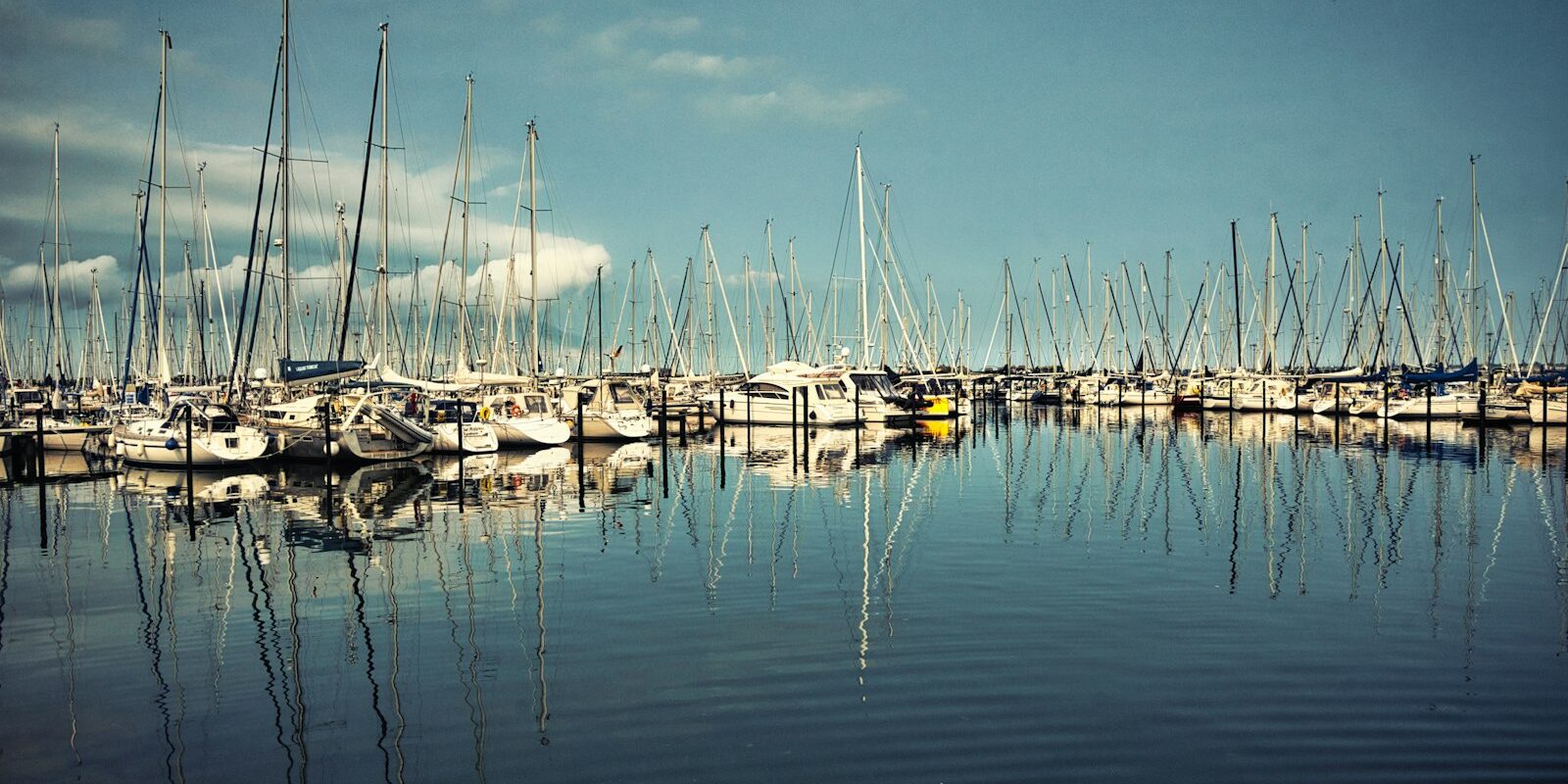
Yachthafen Heiligenhafen lies on the Baltic Sea coast of Schleswig-Holstein opposite the island of Fehmarn, between the old town and the Graswarder spit, and has nearly 1,000 berths. Here you can read how to travel to the start of your trip, where to park and shop, which sailing destinations are nearby and what skippers should note when approaching, berthing and at the Fehmarnsund Bridge.
The essentials at a glance
- Without a car, take the train to Lübeck, then buses X85 and 580. The stop is at most 300 metres from the marina.
- Car parks are available directly at the harbour, but the municipal car parks do not offer weekly tickets.
- From mid-June the water temperature stays above 15 degrees for a good three months; in spring and autumn it is cooler on board.
- A supermarket is about 500 metres or roughly 5 minutes' walk away; you can reach larger stores by car.
- First sailing destinations are Orth and Burgstaaken on Fehmarn; the Danish islands of Langeland and Ærø are long day passages.
Where is Marina Heiligenhafen?
The marina is right in the centre of town, directly north of the old town. To the north it is sheltered by the Graswarder, to the west it is bounded by the bridge to Steinwarder, the peninsula with the beach and pier, and to the east by the stone breakwater.
Map from OpenStreetMap. When the map is displayed, data is transmitted to the provider.
More InformationThe old town, promenade and beach are all within walking distance from the pontoons. East of the stone mole lie the municipal harbour with fishing harbour and museum pontoon, as well as the club harbour of Seglervereinigung Heiligenhafen. This article covers the town's large marina.
Arriving for the start of your trip at Heiligenhafen Marina
From Hamburg Airport to Heiligenhafen
The nearest major airport is Hamburg, about 105 kilometres away as the crow flies. With a hire car you reach the marina in about an hour and a half.
By public transport, take the S-Bahn line S1 from the airport to Hamburg Hauptbahnhof in about 25 minutes; it runs every ten minutes. From there, regional trains to Lübeck take about 40 minutes and run every half-hour during the day. From Lübeck, continue by bus as described in the next section.
By car, train or bus
By car it is about 120 kilometres from Hamburg, about 60 from Lübeck. Follow the A1 towards Fehmarn and take the first exit to Heiligenhafen. In town, drive along Bergstraße towards Binnensee into the street Am Yachthafen, at whose turning circle the harbour master's office is located. Coming from Kiel, take the B202 to Oldenburg in Holstein and join the A1 there.
By train, travel to Lübeck Hauptbahnhof. From there, replacement bus X85 runs hourly to Oldenburg in Holstein; the journey takes a good hour. In Oldenburg, change to bus line 580 to Heiligenhafen. From Kiel, line 310 runs to Oldenburg.
The replacement bus runs because the railway line towards Fehmarn is being rebuilt. According to the current state of affairs (October 2026), trains on line RB85 from Lübeck only run as far as Neustadt in Holstein. North of there the line has been closed since the end of August 2022 because it is being rebuilt for the Fehmarnbelt Tunnel connection. According to current planning by the railway, trains are expected to run there again from the end of 2029.
The nearest bus stop is no more than 300 metres from the marina at the corner of Am Strande and Schlamerstraße; the town bus within Heiligenhafen is free. Current timetables can be found with the regional transport authority NAH.SH.
Where is my boat in the marina?
The marina is large: its 15 pontoons extend from the marina promenade. If you can't find your pontoon, ask at the harbourmaster's office at pontoon 1b or at the ServicePoint at pontoon 8.
If you're arriving as crew on a cabin charter: the pontoon number is in your trip documents. The marina provides hand trolleys for luggage and provisions boxes.
Parking
Car parks are located directly at the harbour. There are no weekly tickets on the municipal car parks; on Kapitän-Willy-Freter-Platz, for example, you may park for a maximum of three hours. Kapitän-Willy-Freter-Platz also has twelve charging stations for electric vehicles, which you can use without registering.
Showers and sanitary facilities
The marina has four toilet blocks with showers on the promenade at pontoons 1c, 3, 8 and 10. They are for the crews of boats in the harbour; you can get the door code at the ServicePoint at pontoon 8. Washing machines and tumble dryers are available in the blocks at pontoons 3 and 8.
The ServicePoint is staffed morning and evening from mid-April to mid-October, and until 8 p.m. during high season.
Shopping for the trip
The nearest supermarket is a REWE store on Am Strande, about 500 metres or roughly 5 minutes' walk from the marina. For a big shop before a longer trip, drive to the larger stores in the industrial estate, such as Famila on Industriestraße or Lidl on Sundweg.
The marina also has a kiosk and a bread roll service.
Doctor, pharmacy and emergency services
Several pharmacies and doctors' surgeries are in the town centre. The nearest acute hospital with emergency medicine is AMEOS Klinikum Oldenburg, Mühlenkamp 5, in Oldenburg in Holstein, about 11 kilometres as the crow flies from the marina. A defibrillator is located at the ServicePoint at pontoon 8.
- 112: Ambulance service, emergency doctor and fire brigade
- 110: Police
- 116 117: out-of-hours medical service
- 0800 0022833: emergency pharmacy service
- At sea: VHF channel 16 or DSC on channel 70, call sign "Bremen Rescue Radio", the maritime rescue coordination centre of the Deutsche Gesellschaft zur Rettung Schiffbrüchiger (DGzRS) in Bremen; by telephone round the clock on +49 421 53687-0.
Heiligenhafen marina at a glance
The marina takes yachts up to 6 metres beam and over 20 metres length, with electricity and water at all berths. Key details at a glance:
| Feature | Details |
|---|---|
| Position (approximate) | 54° 22,6′ N, 010° 59,0′ E |
| Operator | Heiligenhafener Verkehrsbetriebe GmbH & Co. KG (HVB) |
| Address | Am Yachthafen 4a, 23774 Heiligenhafen |
| Berths | nearly 1,000 on 15 pontoons, berths from 3 × 12 m to 6 × 20 m |
| Harbourmaster's office | Yachthafenpromenade at Pontoon 1b |
| Harbour services | ServicePoint at Pontoon 8, telephone 0174 5866871 |
| Mooring fees for visiting yachts 2026 | 14 to 36 € per day for yachts up to 15.99 m, electricity 3 € per day |
| Fuel | Diesel at the fuel station on the east mole |
| Slipway | at Pontoon 6 |
The complete list with weekly prices and surcharges for larger yachts can be found on the Marina price page. Prices and opening times (as at October 2026).
Internet is available throughout the harbour. You use electricity and water at the pontoons after registration, without coins or cards. On the promenade there are two covered barbecue areas which you can use free of charge, and between pontoons 6 and 7 a playground.
What is the weather like for sailing around Heiligenhafen?
In the western Baltic Sea, the water temperature in the long-term average stays above 15 degrees for a good three months from mid-June onwards. In spring and autumn it is cooler on board; warm, windproof clothing is essential then.
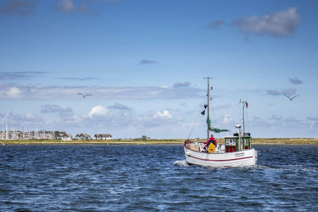
Wind and warnings for the sailing area are in the official maritime weather forecast; more on this in the section for skippers. From April to October, a current weather report is also posted daily in the marina.
Which sailing destinations lie near Heiligenhafen?
Fehmarn is directly opposite and can be reached with a short passage. For longer day passages, Kiel Bay, Lübeck Bay and the Danish islands of Langeland and Ærø are all good options.
The distances are rounded nautical miles over water on the usual course from the marina; for precise planning refer to the chart.
- Fehmarnsund Bridge: approximately 5 nm
- Orth auf Fehmarn: approximately 6 nm
- Burgstaaken auf Fehmarn: approximately 9 nm, through the Fehmarnsund
- Bagenkop on Langeland: approximately 26 nm
- Marstal on Ærø: around 34 nm
- Kiel-Holtenau: approximately 37 nm
- Travemünde: about 35 nm, through the Fehmarnsund (note restricted bridge height, see below)
For a week's trip, a circuit via Langeland and Ærø or a passage to Kiel is a good choice. You can read more about the Kiel Fjord and the entrance to the Kiel Canal in the portrait of Tiessenkai in Kiel-Holtenau, and about Lübeck Bay in our article on harbours in Travemünde.
What can you do on a harbour day in Heiligenhafen?
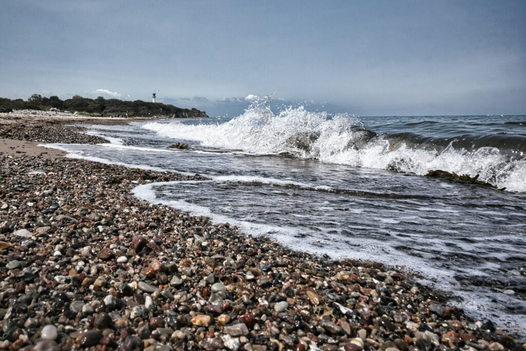
The old town, the fishing harbour, the roughly 4-kilometre sandy beach and the Graswarder nature reserve are all within walking distance of the marina.
Old town and local history museum
The old town with its market square, cafés and shops begins directly south of the marina. The local history museum next to the town church displays ice age fossils and the history of fishing and seafaring.
Museum jetty at the municipal harbour
Historic vessels from the years 1935 to 1993 lie at the north mole of the Kommunalhafen, just east of the marina. Information boards and a pavilion tell the history of the harbour.
Adventure pier
The pier extends about 435 metres out into the Baltic Sea, with wooden loungers, a play area and a bathing deck. From there you can see across the open water as far as the Fehmarnsund bridge. It is located on the beach at Steinwarder, a few minutes' walk from the marina.
Graswarder nature reserve
The Graswarder is a spit about 2.5 kilometres long and 300 metres wide with 230 hectares of land, a nature reserve since 1968. From March to May more than 40 bird species live here. Large areas are closed to visitors; from Easter to October, nature guides lead tours through the area. On the Graswarder stand thatched villas, the earliest built around 1900, many of them listed buildings.
Cliff coast
West of the town begins a cliff coast with wide views over the Baltic Sea. From the holiday park in the west of town you can walk there along the beach in a short time. In bad weather, the Aktiv-Hus with its play world and sauna area offers an alternative.
For skippers: berthing, approach and maritime weather in Heiligenhafen
In Heiligenhafen marina you moor as a visitor at a free berth and register immediately afterwards at the harbourmaster's office at pontoon 1. Stay strictly within the buoyed channel on the approach.
Registration and Berthing
You also pay berthing fees at the harbourmaster's office. The harbourmaster may assign you a different berth from the one you have moored at.
The marina does not list a VHF channel. Channel 16 is the distress and calling channel, not the harbour's channel.
The berths are sized by beam and length, from 3 by 12 to 6 by 20 metres. You only see how each individual berth is constructed when you enter. Therefore lay out lines for bow and stern and fenders for both sides before you turn into the pontoon.
A special case concerns the berths in the sight line of the Heiligenhafen-Warder leading light. No sailing yachts may lie there. Anyone ignoring the notices risks a fine.
From April to October the harbour office is staffed Monday to Friday from 7 to 12 and 13 to 16, and at weekends and on public holidays from 7 to 10 and 12 to 15. In winter it opens only on weekdays and for shorter hours. Visiting yachts may also stay for a single day.
You refuel with diesel at the bunker station on the east mole, where the fishing harbour begins. From April to October it is open on Wednesdays from 8 to 16, Thursdays from 14 to 20, Fridays from 8 to 20, Saturdays from 8 to 14 and Sundays from 12 to 18. Petrol is not available there. You book the crane online via the yacht harbour's website; a slipway launch at the slip by pontoon 6 costs 5 euros. Waste oil is accepted at a collection point at pontoon 3.
Harbour rules for visiting yachts
The harbour regulations also apply to visiting yachts. For a visit these points are important:
- On your day of departure you leave the berth by 12 noon at the latest.
- If you are away for more than 24 hours and want to return, let them know in advance, otherwise the berth may be reassigned.
- Engines run only whilst the boat is actually moving.
- Swimming, diving and fishing are prohibited in the marina. You keep dogs on a lead throughout the site.
- Noisy work such as grinding or using an angle grinder is not permitted. You keep gates and barrier chains on the pontoons closed.
Approach
You enter via a buoyed channel and stay strictly in the line of buoys. The buoys are widely spaced; on the south side of the fairway shallow-water areas follow immediately. At Graswarder the depth drops from 5 to 1 metre over a short distance, and this shoal constantly shifts. If you approach from the west, first round the east cardinal buoy (shoal buoy) at Graswarder, then head directly for the approach buoy without cutting the corner.
Between the yacht harbour, the sailing club harbour and the municipal harbour lies a green-red-green buoy. Pass it to the east. If you pass it on the wrong side you have only 50 to 80 centimetres of water.
In the harbour and in the fairway the Seeschifffahrtsstraßen-Ordnung applies. With strong north-westerly winds you lie well protected in the yacht harbour.
Fehmarnsund Bridge: restricted clearance height
At the Fehmarnsund Bridge a construction scaffold hangs beneath the main span between piers 5 and 6. The clearance height is thereby restricted by around 3 metres, leaving approximately 18 metres above mean water level (as at October 2026). The notice is valid until 31 December 2026; no end is in sight. Before passing through, check the current notices to mariners published by the waterways and shipping authority on ELWIS. With a tall mast you factor in aerials and water level.
Which sea weather forecast applies to Heiligenhafen?
The sea weather forecast of the Deutscher Wetterdienst (DWD) for the North Sea and Baltic Sea applies, together with the DWD coastal warnings for the section Flensburg to Fehmarn.
For Heiligenhafen and Kiel Bay the area Westliche Ostsee is relevant, and for trips to Denmark additionally Belte und Sund. A wind warning is issued from 6 Beaufort, a gale warning from 8 Beaufort.
You can read the current report on the DWD sea weather page or in the WarnWetter app. Whilst underway you receive it via VHF coast radio, NAVTEX and on the radio.
Trips from Heiligenhafen on Törnfinder
In October 2026 there are 27 trip dates on Törnfinder over the next twelve months with departure or destination at Heiligenhafen yacht harbour. Most depart in June, May and August; seven days is typical. They come from three providers, sailing is on monohulls and traditional sailing vessels. All current offers are in the trip overview. An overview of the whole sailing area is on the Sailing in the Baltic Sea, trips to the islands beyond the Fehmarnbelt you will find under cabin charter in Denmark.
Frequently asked questions
How do I get from Hamburg airport to Heiligenhafen yacht harbour?
By hire car via the A1 in about an hour and a half. Without a car you travel by S-Bahn and regional train to Lübeck and from there by buses X85 and 580.
Where do I park at trip start at Heiligenhafen yacht harbour?
Car parks are located directly at the harbour, but there are no weekly tickets on the municipal car parks.
Are there showers at Heiligenhafen yacht harbour?
Yes, in four sanitary blocks on the promenade at pontoons 1c, 3, 8 and 10. Washing machines and dryers are located at pontoons 3 and 8.
How do I check in at Heiligenhafen marina?
Immediately after berthing at the harbour office on pontoon 1, where you also pay the berthing fee. The marina does not give a VHF channel; you can reach the harbour service in advance on 0174 5866871.
Can you refuel at Heiligenhafen marina?
Yes, diesel is available at the bunker station on the east mole, from April to October on five days a week. Petrol is not available there.
Will my yacht fit under the Fehmarn Sound Bridge?
Only if your mast including aerials stays below approximately 18 metres above mean water level, because the clearance height is currently restricted by around 3 metres owing to a construction scaffold. No end is in sight; check the current notices to mariners before passing through.