This page was translated automatically from German. View the original
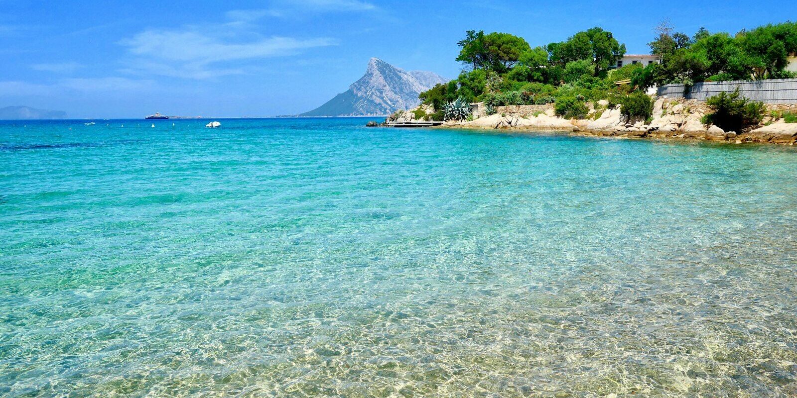
Marina Cala dei Sardi is located on the western shore of the Gulf of Cugnana in north-eastern Sardinia, in the municipality of Olbia between Portisco and Porto Rotondo. Here you can read how to get from Olbia airport to the marina, where to park and shop, what wind to expect, which destinations are close from the gulf and what skippers should know when berthing.
The essentials at a glance
- Olbia Costa Smeralda Airport is about 14 kilometres south of the marina as the crow flies. From there you can get to the marina by taxi or hire car, and from June to September also by scheduled bus to Portisco.
- A car park is located directly at the marina; it is guarded at night.
- The nearest supermarket is about 700 metres north in Portisco. The marina also offers a shuttle to the supermarket.
- Porto Rotondo is about one nautical mile away opposite, Porto Cervo about 9 and the first islands of La Maddalena about 12.
- Typical strong wind is the Maestrale from the northwest. The marina is sheltered from it; outside the gulf it can blow strongly.
Where is Marina Cala dei Sardi located?
Marina Cala dei Sardi is located in a bay on the western shore of the Gulf of Cugnana, right on the coast road that runs from Golfo Aranci to Porto Cervo. About 600 metres further north lies Marina di Portisco, on the opposite shore of the gulf Porto Rotondo.
Map from OpenStreetMap. When the map is displayed, data is transmitted to the provider.
More InformationMarina di Portisco is a separate harbour. Marina Cala dei Sardi consists of floating pontoons made of breakwater modules that are elastically anchored to the seabed. This maintains the current in the bay, and a fixed concrete dam was not necessary.
Arriving for trip start at Marina Cala dei Sardi
Olbia's airport and ferry port are not far away. You cover the last stretch by car, or from June to September by scheduled bus.
From Olbia airport to the marina
Olbia Costa Smeralda Airport lies south of the town of Olbia, around 10 minutes from the centre. Marina Cala dei Sardi is roughly 14 kilometres as the crow flies to the north. At the airport you can hire a car or take a taxi. The marina also offers a taxi service amongst its facilities.
From June to September, bus line 20 run by Sun Lines operates daily, including Sundays, from the airport via the centre of Olbia, the Isola Bianca ferry port and Porto Rotondo to the Portisco/Rena Bianca stop, and on to Porto Cervo. In the 2026 timetable, the bus leaves the airport at 10:00, 12:30, 16:00 and 19:00, and returns from Portisco/Rena Bianca at 08:49, 13:49, 16:19 and 19:34. The 2027 timetables will be published in early 2027 on the Sun Lines website.
By car or ferry
Ferries from the mainland dock in Olbia at the ferry port on Isola Bianca. From there it's a five-minute walk to the waterfront promenade and the town centre. A smaller ferry port is at Golfo Aranci, around 20 minutes from Olbia.
On Sardinia, follow the coastal road between Golfo Aranci and Porto Cervo. The marina lies directly on this road, just before Portisco. It's roughly 12 kilometres as the crow flies to the centre of Olbia.
Parking
A car park lies directly at the marina, at the access road from the coastal road. It is fenced, gated, monitored by video and guarded at night. There are charging stations for electric cars.
Showers and sanitary facilities
The marina has showers and sanitary facilities.
Shopping for the trip
The nearest supermarket is Dettorimarket in Portisco, around 700 metres as the crow flies north of the marina. For shopping with crates of drinks, the marina offers a shuttle service to the supermarket. Larger supermarkets can be found in Olbia. If you're coming by hire car from the airport, it's best to do the main shop there and then drive on to the marina.
The marina itself has a bar and a restaurant serving Sardinian dishes and fish.
Doctor, pharmacy and emergency services
The nearest pharmacy is Farmacia Sardu in Porto Rotondo, around two kilometres as the crow flies. By road you drive round the gulf. The nearest hospital with an emergency department (Pronto Soccorso) is Giovanni Paolo II Hospital in Olbia.
These numbers apply at the marina and at sea off the coast:
- 112: single European emergency number for ambulance, police and fire brigade
- 1530: free emergency number for the coastguard (Guardia Costiera) for emergencies at sea
- At sea: VHF channel 16
What does Marina Cala dei Sardi offer?
Marina Cala dei Sardi can accommodate yachts from 6 to 70 metres in length and with a draught of up to 7 metres, and all berths have electricity, water and Wi-Fi. The site is monitored around the clock.
Equipment
| Feature | Details |
|---|---|
| Position (approximate) | 41° 01,7′ N, 009° 31,3′ E |
| Address | Strada Provinciale per Porto Cervo, 07026 Cugnana (Olbia) |
| Berths | for yachts from 6 to 70 m in length |
| Tiefgang | up to 7 m |
| VHF channel | 8 |
| Electricity, water, Wi-Fi | at the berths |
| Safety | round-the-clock surveillance |
| Parking | car park at the marina, charging stations for electric cars |
| Contact | Telephone +39 0789 1876125, email info@caladeisardi.it |
Besides the bar and restaurant there is Wi-Fi, a swimming area and a dedicated area for dogs. Berths can be booked via the marina's website.
What is the weather like for sailing around Marina Cala dei Sardi?
The typical strong wind in the sailing area is the Maestrale from the northwest, known internationally as the Mistral. From the southeast comes the Scirocco. The Maestrale can blow through at any time of year, even in summer.
The Maestrale can blow particularly strongly in the Strait of Bonifacio between Sardinia and Corsica. The marina is protected against wind from east through south and west to north. Tides play hardly any role; at the pontoon the water level varies by at most half a metre.
The Italian weather service issues storm warnings from Force 7 onwards.
Which trip destinations lie near Marina Cala dei Sardi?
From the marina you can reach the islands off the gulf, the bays of the Costa Smeralda and the La Maddalena archipelago in short legs. Southwards it's round Capo Figari to Golfo Aranci and Tavolara. The distances are rounded over-water distances on the usual course; for precise planning the nautical chart applies.
- Porto Rotondo: around 1 nm, straight across the gulf
- Islands of Mortorio and Soffi (national park): around 4 nm
- Porto Cervo: around 9 nm
- Golfo Aranci: around 11 nm, round Capo Figari
- First islands of the La Maddalena Archipelago: around 12 nm
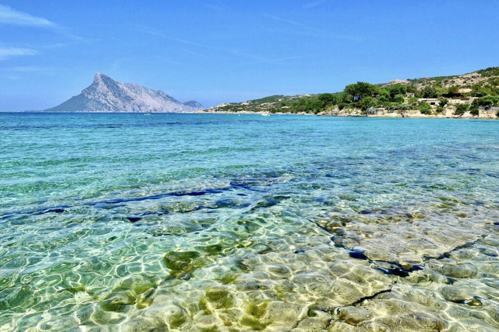
- Tavolara: around 15 nm, round Capo Figari
- La Maddalena, main town: around 17 nm
- Bonifacio on Corsica: a good 30 nm, across the Strait of Bonifacio
Mortorio and Soffi lie off the coast northeast of the gulf and belong to the La Maddalena National Park. Mortorio is fully protected: boats may not approach the island, and landing is prohibited. Around Soffi you may only navigate in a designated corridor, for which you need a permit from the park administration, as you do throughout the rest of the park. If anyone there demands money for a supposed park ticket, that is fraud, which you should report to the coastguard on 1530.
La Maddalena is a national park. Anyone not resident on La Maddalena needs prior paid authorisation from the park administration to navigate, anchor and moor in the park (as at October 2026). If it is only issued during an inspection at sea, it costs 40 per cent more. You may only visit specially protected bays such as Cala Brigantina and Cala Coticcio with an environmental guide.
Tavolara belongs to the Tavolara–Punta Coda Cavallo Marine Protected Area. You may neither navigate nor anchor in its core zones. In the other zones you travel under engine at a maximum of 5 knots up to 300 metres from the coast, and a maximum of 10 knots up to 600 metres. Anchoring there is only permitted on sand or shingle, never on seagrass meadows (Posidonia). For the buoy fields you need a permit from the protected area administration.
Bonifacio at the southern tip of Corsica is a full day's run. With a Maestrale you sail to Bonifacio into the wind.
The south of Sardinia is described in our portrait of the Marinas in Cagliari.
What can you do on a harbour day around the Marina Cala dei Sardi?
The beach and bathing area lie directly at the marina; for Porto Rotondo and San Pantaleo you need a car or taxi. The distances are straight-line distances from the marina.
- Marina bathing area: The complex has its own bathing area, so you don't have to go far for a dip.
- Beach at Portisco: Around a kilometre to the north, between the Marina di Portisco and a small granite islet, lies a strip of fine white sand with shallow water. You can snorkel well amongst the rocks.
- San Pantaleo: The village lies around 5 kilometres to the west in the granite mountains above the gulf. It grew up in the late 19th century around a small country church and is known for its artists. In spring and summer a market is held on Thursdays, and walking trails lead through rocks and cork oak forests.
- Porto Rotondo: The town lies opposite on the other shore of the gulf; by road you drive around the gulf. The village was created from 1964 onwards on the initiative of two Venetians, its architecture is reminiscent of Venice, and the main square is called Piazzetta San Marco. The open-air theatre was opened in 1995, its semicircular seating tiers of unworked granite offer 700 seats.
For skippers: Berthing and marine weather at the Marina Cala dei Sardi
Registration and Berthing
You can book berths online via the marina's website, by telephone on +39 0789 1876125 or by email to info@caladeisardi.it. Marina staff will help you when mooring, and instructions are given on VHF channel 8. Berths are allocated according to the beam of the boat rather than a fixed length. This means yachts from 6 to 70 metres can all find space in the same marina. The mooring lines are fitted with load sensors and monitored around the clock, and snubbers are gradually being fitted to all lines.
Approach in the Gulf of Cugnana
The Gulf of Cugnana is a long, narrow bay opening northeast to the open sea. The Marina Cala dei Sardi lies on its western shore, south of the Marina di Portisco. Be careful not to approach the entrance to Portisco by mistake. In summer the gulf is very busy; boats are also hired out at the beach at Portisco.
Which marine weather forecast applies in the Gulf of Cugnana?
For Italian waters the weather service of the Italian Air Force (Aeronautica Militare) issues the official marine weather forecast. It is updated every six hours and broadcast by the Coastguard over the radio.
Storm warnings (Avviso di burrasca) appear from Force 7, i.e. from 28 knots mean wind, every three hours in Italian and English and also in between if necessary. Details can be found on the Weather service page. With a NAVTEX receiver on board you receive the nearby station La Maddalena. It transmits weather reports in English (identifier R, 518 kHz) at 06:50 and 18:50 UTC and in Italian (identifier I, 490 kHz) at 09:20 and 21:20 UTC, so two hours later local time in summer.
Trips from the Marina Cala dei Sardi on Törnfinder
All current offers are in the trip overview. An overview of the whole country is given on the page Sailing in Italy; you will find trips in the wider sailing area under Sailing in the Mediterranean.
Frequently asked questions
How do I get from Olbia airport to the Marina Cala dei Sardi?
By taxi or hire car; the marina is about 14 kilometres north of the airport as the crow flies. The marina also offers its own taxi service. From June to September, bus line 20 also runs daily from the airport to Portisco.
Where do I park at trip start at the Marina Cala dei Sardi?
In the car park directly at the marina. It is fenced, video-monitored and guarded at night.
Are there showers at the Marina Cala dei Sardi?
Yes, the marina has showers and toilet facilities.
Is there a supermarket near Marina Cala dei Sardi?
Yes, Dettorimarket in Portisco is about 700 metres to the north. The marina also offers a shuttle to the supermarket; you'll find larger shops in Olbia.
Are Cala dei Sardi and Portisco the same harbour?
No. Marina Cala dei Sardi and Marina di Portisco are two separate harbours on the western shore of the Gulf of Cugnana. Portisco lies about 600 metres further north.
On which VHF channel can Marina Cala dei Sardi be reached?
On channel 8. You'll receive berthing instructions there when entering, and the marina staff will help with mooring.
How far is it from Marina Cala dei Sardi to La Maddalena?
The first islands of the archipelago lie about 12 nautical miles away by water, the main town of La Maddalena about 17. Anyone not resident on La Maddalena needs prior paid authorisation from the park authority to visit the national park.