Through the IJsselmeer to the North Sea

 Sailing Insights
 This page was translated automatically from German. View the original
IJmuiden → Amsterdam → Harlingen | Long voyage 2027
After the legs on the Atlantic, in the English Channel and on the North Sea, a different kind of cruising sailing awaits us. We start in IJmuiden and sail via the North Sea Canal to Amsterdam. From there we explore the Dutch inland waters with their lakes and historic harbour towns. Our destination is Harlingen on the Wadden Sea.
Depending on wind and weather, the route takes us through the Markermeer and across the IJsselmeer. Along the way we pass through locks and bridges, visit historic harbour towns and experience the special atmosphere of this sailing area. Via the Afsluitdijk we finally reach the Wadden Sea.
The focus is not on covering as many nautical miles as possible. We take our time for short legs, interesting harbours and life on board. Locks, bridges and narrow harbour basins offer many opportunities to practise manoeuvres and gain navigational experience.
I am particularly looking forward to this trip. The Netherlands have a long watersports tradition. After the challenging sea passages, I want to experience this more relaxed but varied side of sailing with the crew.
Long Voyage, Not Charter
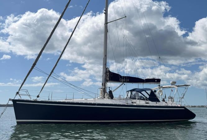
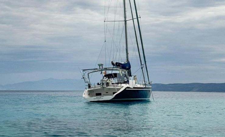
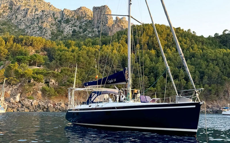
MAVERICK is on a continuous voyage from Gibraltar to Glückstadt. Each crew takes over the boat from the previous crew and brings it a bit further north. This way you become part of a real long voyage rather than a round trip.
On board you are part of a small, active crew. You can help with navigation, lock and harbour manoeuvres as well as trip planning.
Who is this for?
Level 1 – Experienced crew. You have sailing experience and can work safely as a crew member. You don't yet need to handle navigation and harbour manoeuvres independently.
Good to know
This week-long trip takes place from 03.10. to 08.10.2027. The route depends on wind, weather and the opening times of locks and bridges.
Map from OpenStreetMap. When the map is displayed, data is transmitted to the provider.
More InformationMap from OpenStreetMap. When the map is displayed, data is transmitted to the provider.
More InformationCigal 14
48 feet