Atlantic coast, Bay of Biscay and tides
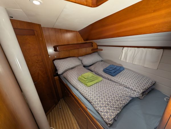
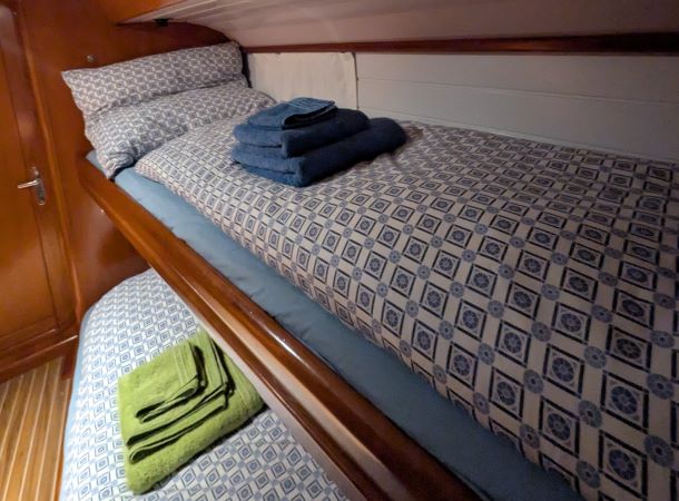

 Sailing Insights
 This page was translated automatically from German. View the original
Santander → La Rochelle | Long Passage 2027
With this trip we leave the Spanish north coast and set course for France. The sailing area changes noticeably: tides and tidal streams gain in importance, the passages become longer and careful weather planning increasingly becomes part of everyday sailing life.
Depending on wind and weather, we follow the French Atlantic coast and call at selected harbours. Wide sandy beaches, dune landscapes and large tidal ranges characterise the sailing area. Our destination is La Rochelle with its historic Old Harbour and a long sailing tradition.
This leg combines longer sailing passages with the particular demands of a tidal sailing area. Currents, water levels and suitable weather windows determine our decisions. There remains time to get to know the coast and its harbour towns.
I'm particularly looking forward to this trip. The French Atlantic coast marks the beginning of a new chapter in our long passage. I've long wanted to arrive in La Rochelle with my own boat — not just because of its sailing tradition, but also because of the atmosphere of this town.
Long Voyage, Not Charter
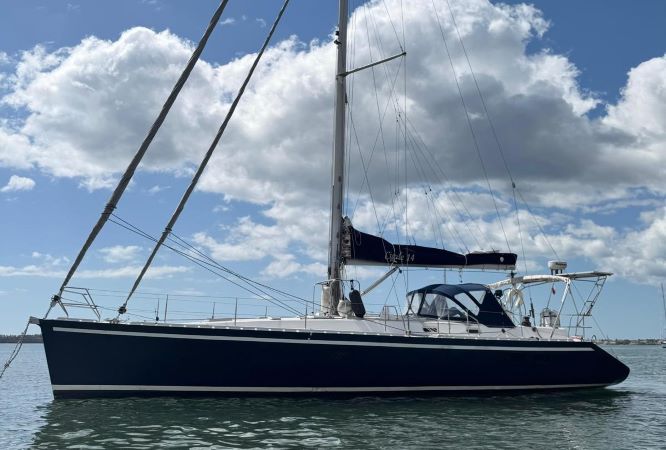
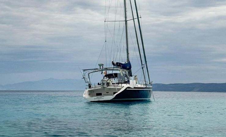
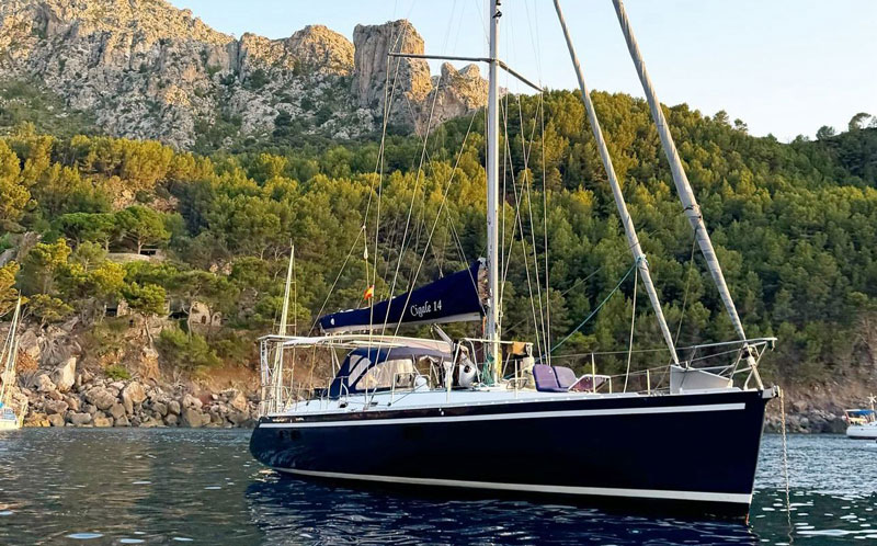
MAVERICK is on a continuous voyage from Gibraltar to Glückstadt. Each crew accompanies the boat on one leg and then hands it over to the next crew. We take our cues from wind, weather and the opportunities offered by the sailing area.
On board you are part of a small, active crew. You can take part in navigation, tidal planning, harbour manoeuvres and watch organisation and deepen your experience.
Who is this for?
Level 2 – Active crew. You have already completed several trips, can actively participate in manoeuvres and take watches largely independently.
Good to know
The leg is planned for two weeks; participation for one week is possible by arrangement. The route and the harbours called at depend on wind, weather and tides.
Map from OpenStreetMap. When the map is displayed, data is transmitted to the provider.
More InformationMap from OpenStreetMap. When the map is displayed, data is transmitted to the provider.
More InformationCigal 14
48 feet