
100 per cent Norway: Between Sognefjord and Boknafjord


 Seehase

This page was translated automatically from German. View the original
100% Norway
Discovery Trip along Norway's Coast
Between Stavanger and Bergen, the departure and destination ports of this trip, lie around 100 nautical miles – a distance easily manageable in just two days. However, we want to take our time and deliberately accept "detours". For the fjords cutting deep into the interior form a breathtaking landscape that creates unique travel impressions. Between Lysefjord, Boknafjord and Bjørnafjord stretches a rocky labyrinth of waterways inviting small exploration tours. Approaching this rugged yet tranquil world from the water side enables unforgettable nature experiences!
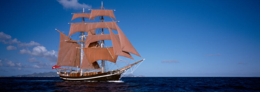
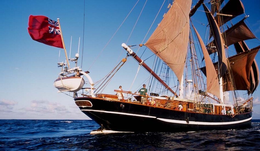
In the harbour of Bergen our crew will welcome you aboard. Within just a few hours and with only one stopover you can reach here from many airports in German-speaking countries. Embarkation takes place at 7 p.m. At the communal dinner that follows in the cosy saloon, you will quickly find your feet on the deck planks of the Eye of the Wind, feel at home from the very start and soon get to know your fellow travellers.
Our Sailing Area: The Skerries and Fjords along Norway's Southwest Coast
Departing from Bergen, we discover the rugged coastal region of western Norway: the landscape, cut through with bays and fjords, provides holiday and sailing experiences in the midst of an unspoilt region. The majestic fjords and the extensive skerry belt, which lies like a vast natural breakwater off the coast, appear elemental and remote. A unique sailing area that presents itself as a fascinating labyrinth of expanses of water, rocks and forests. With the Eye of the Wind we want to venture into this deep, calming blue, into this surprisingly gentle, unique world of thousands of islands, steep mountain slopes and narrow shores.
Provided wind and weather conditions are favourable, there is the opportunity to explore the waters north of Bergen first and even to push as far as Sognefjord, the longest and at the same time deepest fjord in Europe.
While moments ago we were still beating through the skerry world in the open sea, just a few nautical miles further on we suddenly encounter an almost alpine setting. Granite formations sculpted by glaciers surround us; the scenery is more reminiscent of a quiet mountain lake than the ocean. For a landscape to change so dramatically within a few metres is a particularly rare spectacle, and not only for geologists. The weather, too, often changes several times a day. Here it's April more often than anywhere else, say the inhabitants of the fjord country.
A selection of possible stopovers with opportunity for shore leave:
Kvalvåg on the island of Stolmen: A picture-book bay, a miniature fjord so to speak, surrounded by forest and rock. Trade in timber and lobsters once flourished here in the area.
Rosendal: The small harbour and holiday resort lies in the midst of an alpine-looking setting. Worth visiting here is the Old Barony, which includes a castle with a landscape park.
Sunndal: From Sunndal a walk of approx. 1.5 hours leads along a stream to the lake of Bondhusbreen, the best-known glacier tongue on the western side of the Folgefonna Glacier. The path is rewarded with wonder, silence and the breathtaking view of a landscape no artist could capture more beautifully on canvas. On the sea route to Sunndal lies the Furebergfossen, Norway's fifth-largest waterfall, which pours noisily from the mountain before us into the fjord.
Espevær: During the time of the great herring shoals in the mid-18th century, 20,000 people lived on this skerry island – today there are fewer than 200. In this peaceful paradise we find a natural anchorage in the sheltered lagoon.
Gradually we approach the Boknafjord system, and as we enter the Byfjord the city skyline of our destination soon takes shape ahead.
I'm happy to send further details
Karsten/ marevent.de
Map from OpenStreetMap. When the map is displayed, data is transmitted to the provider.
More InformationMap from OpenStreetMap. When the map is displayed, data is transmitted to the provider.
More InformationBrig
122 feet
