
Biscay Sailing A Coruña – Bordeaux


 Seehase
This page was translated automatically from German. View the original
Sailing trip from A Coruña to Bordeaux
Atlantic adventure in northern Spain
A sailing trip along the rugged, beautiful northern coast of Spain – from Galician A Coruña, past Bilbao, along the coast of Les Landes to Bordeaux…is a voyage full of contrasts, flavour and discovery. Two weeks combining the Atlantic, culture and the joy of living.
The sailing area in northern Spain is challenging and fascinating in equal measure. The Atlantic shows its wild side here – with strong winds, impressive swells and a coast that reveals itself in steep cliffs, green hills and secluded bays. For sailors, this is a true paradise.
Along the Basque, Cantabrian and Galician coast lie small harbours and towns that hardly anyone knows yet: Santander, Ribadesella, Gijón, Ribadeo – places where fishermen mend their nets on the quayside and you can enjoy Serrano ham, fresh seafood and robust wine in rustic taverns.
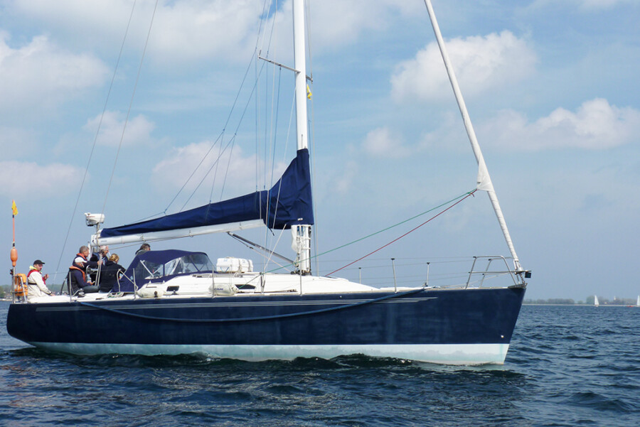
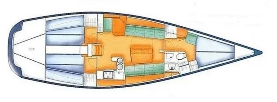
The yacht X-YACHTS IMX 40
LOA: 12.10m, beam 3.80, draught 2.45m, displacement 6.8 t, Volvo Penta 40 HP
Equipment: 3 cabins, 6 berths, mainsail with lazy bag, roller furling jib, genoa, spinnaker pole, anchor, sprayhood, autopilot, log, wind instruments, echo sounder, GPS, Navtex, heating, DSC radio, clock, barometer, radio/CD/USB, refrigerator, charts, binoculars, harbour guides, COLREGS, hand bearing compass, automatic life jackets, life raft, chart plotter, EPIRB, radar transponder, AIS, radar, hand-held searchlight, hand-held VHF, 2 halyard/trimming winches, 2 spinnaker winches, 4 winch handles, sheets and halyards with stoppers, wheel steering and emergency tiller, wide sprayhood, fenders, mooring lines, anchor ball and motor cone, electric anchor winch, bathing ladder, gas bottles, bucket, mop, scrubbing brush, sponge, boat hook, water tank 180 l with gauge, fuel tank 90 l with gauge, BG inspection approved
Map from OpenStreetMap. When the map is displayed, data is transmitted to the provider.
More InformationMap from OpenStreetMap. When the map is displayed, data is transmitted to the provider.
More InformationX 40
40 feet
