This page was translated automatically from German. View the original
Warns is a village in south-west Friesland, about three kilometres east of Stavoren and close to the shore of the IJsselmeer. Its harbours lie on the Johan Friso Canal, which connects Warns to the IJsselmeer via the lock at Stavoren. Here you can read how to get to the harbours in Warns for the start of your trip, which harbour is where, where to shop, what sailing weather to expect, which sailing destinations are nearby, and what skippers need to know about the bridge, lock and sea conditions.
The essentials at a glance
- Without a car, take the train to Stavoren or Koudum-Molkwerum, both on the Leeuwarden–Sneek–Stavoren railway line. From mid-April to the end of September, there is also a ferry from Enkhuizen to Stavoren.
- The two main harbours are Jachthaven De Stormvogel on the canal in the village and Marina Warns on the north-eastern edge of the village.
- The bridge in Warns and the Johan Friso lock operate daily from the end of March to the end of October. In winter, they operate Monday to Friday during the day and on Saturdays on request only.
- There is no supermarket in Warns. The nearest are in Stavoren (around 3 km) and Koudum (around 4.5 km).
- The IJsselmeer has no tides. In strong winds, however, waves build up quickly on the lake.
What harbours are there in Warns?
In Warns yachts moor mainly in two places: at Jachthaven De Stormvogel directly on the Johan Friso Canal, a few minutes' walk east of the village centre, and at Marina Warns, also on the Johan Friso Canal, just under a kilometre further north-east on the edge of the village shortly before the lake De Geau. From both harbours you pass through the bridge at Warns and the lock at Stavoren onto the IJsselmeer, and the Frisian lakes are not far either.
Map from OpenStreetMap. When the map is displayed, data is transmitted to the provider.
More InformationJachthaven De Stormvogel is located on the site of the former dairy of Warns, which operated from 1899 to 1964; its chimney still stands. Marina Warns has its address in the neighbouring village of Molkwerum but is located on the edge of Warns. In addition, there are the smaller yacht harbours De Vrijheid and De Pyramide on the canal, as well as a municipal harbour behind the bridge towards Stavoren, where mainly boats from the village are moored.
Getting to Warns for trip departure
Warns is off the main transport routes. You can get there by car or by train and ferry to Stavoren or Koudum-Molkwerum. What follows applies to both harbours unless a name is given.
From Amsterdam Schiphol Airport to Warns
The nearest major airport is Amsterdam Schiphol, around 80 kilometres as the crow flies from Warns. By hire car you drive either via the Afsluitdijk or via Lelystad and Lemmer to south-west Friesland.
There are two ways to get there by public transport. One is by train via Leeuwarden and Sneek, taking the regional line to Koudum-Molkwerum or to the terminus at Stavoren. The other is by train from Amsterdam to Enkhuizen, where the station is right by the harbour, and then, from mid-April to the end of September, by ferry across the IJsselmeer to Stavoren. The crossing takes around 80 minutes, and you can take bicycles with you for an extra charge.
By car, train or ferry
The Leeuwarden–Stavoren railway line stops at Sneek, Workum, Hindeloopen, Koudum-Molkwerum and Stavoren, among others. Warns does not have its own station; from Stavoren it is around three kilometres to the village.
On the Leeuwarden–Stavoren line, the railway is currently installing (as at November 2026) the new ERTMS train protection system, so the line is repeatedly closed for a few days at a time. Replacement buses then run, and the closures are listed in the railway's journey planner.
The ferry between Enkhuizen and Stavoren is the oldest surviving link between North Holland and Friesland. As things stand (November 2026), it runs three times a day from mid-April to the end of September: only on selected weekends in April, daily except Mondays in May, June and September, and every day in July and August. It leaves Enkhuizen at 8.45 am, 12.45 pm and 4.45 pm, and Stavoren at 10.25 am, 2.25 pm and 6.25 pm. In both towns the landing stages are about 100 metres from the railway station.
How to find the two harbours
The two harbours are not next to each other. You recognise Jachthaven De Stormvogel in the village by the old chimney of the dairy on whose site it stands. Marina Warns is further east on the canal on the north-eastern edge of the village, towards the lake De Geau. The addresses of both harbours are in the table below.
Parking
The Jachthaven De Stormvogel has its own car park and bicycle parking on the harbour grounds. There is also public parking on the roads Nei de Feart and Boppelâns, around 100 metres from the harbour.
From these public car parks to Marina Warns it's around 700 metres to a kilometre. If you're embarking there, factor in the walk with luggage.
Showers and sanitary facilities
Both harbours have modern sanitary facilities. The sanitary building at Jachthaven De Stormvogel has showers as well as washing machines and dryers.
Shopping for the trip
There is no supermarket in Warns — this applies to both harbours. The nearest is around three kilometres away in Stavoren (PLUS, De Bleeck), and another around four and a half kilometres away in Koudum (Poiesz, Hoofdstraat). Both are best reached by bicycle or car. Also in Stavoren, around 3.9 kilometres away, there's a SPAR on Sint Odulphusstraat. If you're arriving by train or ferry via Stavoren, it's easiest to buy provisions there.
Doctor, pharmacy and emergency services
There is no pharmacy in Warns. The nearest GP surgery is around three kilometres away in Stavoren, Schans 60.
In the evenings from 5 pm, at weekends and on public holidays, Dokterswacht Friesland is responsible, the provincial GP out-of-hours service, telephone 0850 820 820. You only go there after calling first.
- 112: emergency number for police, fire brigade and ambulance service, on land and by mobile
- On the water: Kustwacht, the Dutch coastguard, around the clock on VHF channel 16 and DSC channel 70, call sign "Den Helder Rescue"
- If you have no VHF radio, you can reach the Kustwacht (Dutch coastguard) on 112 or directly on 0900-0111 or +31 88 958 4040
The harbours of Warns compared
Jachthaven De Stormvogel is the harbour in the middle of the village, Marina Warns the larger facility on the edge of the village with winter storage and holiday accommodation. The key details at a glance:
| Feature | Jachthaven De Stormvogel | Marina Warns |
|---|---|---|
| Location | on the Johan Friso Canal, east of the village centre | on the Johan Friso Canal, north-eastern edge of the village before Lake De Geau |
| Position (approximate) | 52° 53,1′ N, 005° 24,4′ E | 52° 53,3′ N, 005° 25,1′ E |
| Address | Boppelâns 9-11, 8721 GE Warns | Ymedaem 3, 8722 HP Molkwerum |
| Berths | 134 | around 200, for boats from 8 to 15 m |
| Draught (max.) | 1,90 m | – |
| Electricity and water | at the pontoons | at the pontoons |
| Toilets | showers, washing machines, tumble dryers | Facilities |
| Further | workshop, fuel station, crane, car park, restaurant | workshop, winter storage, boat hire, houseboats, Wi-Fi |
| Phone | +31 514 681388 | +31 514 681432 |
The Greate Pier restaurant is located at Jachthaven De Stormvogel; cars and bicycles can be parked on the marina grounds. Marina Warns hires out not only houseboats but also a holiday flat for six people and safari tents.
Where is Jachthaven De Stormvogel?
The Jachthaven De Stormvogel is in the village in a harbour basin on the Johan Friso Canal, east of the Warnsebrug bridge. From there it's just under a kilometre along the canal northeast to Marina Warns.
Coming from the IJsselmeer, you reach the harbour via the Johan Friso lock in Stavoren and the canal; from the Frisian lakes via the Morra. The same operator also runs the smaller Jachthaven De Vrijheid in Warns on the canal.
Facilities at Jachthaven De Stormvogel
The harbour has 134 berths with water and electricity at the pontoon. There is also a fuel berth, a crane for unstepping masts and a workshop. The sanitary building has toilets, showers, washing machines and tumble dryers.
The Jachthaven De Stormvogel has five HISWA stars. It takes boats with a draught of up to 1.90 metres, and the harbour master's office is on site.
Where is Marina Warns?
Marina Warns lies in a harbour basin with pontoons on the north bank of the Johan Friso Canal, on the northeastern edge of the village just before the lake De Geau. Its address belongs to the neighbouring village of Molkwerum. Like the Stormvogel, it lies east of the Warnsebrug, so on the way to the IJsselmeer you pass through the bridge and the lock at Stavoren.
Facilities at Marina Warns
The marina has around 200 berths for boats from 8 to 15 metres, with electricity and water at the pontoons. There are also modern sanitary facilities, free Wi-Fi, a workshop and winter storage. The marina also hires out boats and houseboats.
What is the weather like in Warns for sailing?
In the winter months the wind in the Netherlands most frequently blows from the south-west. For the IJsselmeer the Dutch weather service KNMI issues a wind warning from wind force 6 onwards.
The IJsselmeer has no tides, so departure does not depend on the tide. The water authority Rijkswaterstaat controls the water level via the locks in the Afsluitdijk; in summer the level is slightly higher than in winter. Strong winds push the water towards the shore in the direction of the wind, raising the level there whilst it falls on the opposite shore.
In strong winds a short, steep chop builds up on the shallow lake within an hour, reaching about 1.5 metres in a gale, and even faster during a thunderstorm.
What sailing destinations lie near Warns?
From Warns, once through the lock at Stavoren, you can reach the harbours around the IJsselmeer in short day trips. Eastwards the canal leads inland to the Frisian Lakes, such as the Heegermeer.
The distances are rounded routes over water on the usual course from the harbours in Warns, including the canal as far as the lock. For precise planning consult the nautical chart.
- Stavoren: around 2 nm, through the canal to the lock
- Hindeloopen: around 7 nm, after the lock round Stavoren to the north
- Medemblik: around 13 nm, across the IJsselmeer to the south-west
- Makkum: around 13 nm, along the Frisian coast northwards
- Enkhuizen: around 14 nm, straight across the IJsselmeer to the south-west
- Lemmer: around 16 nm, along the Gaasterland coast eastwards
- Kornwerderzand with the lock into the Wadden Sea: around 15 nm, Harlingen beyond it around 22 nm
For a week-long trip a circuit via Enkhuizen, Medemblik and Hindeloopen is ideal, or a passage to Kornwerderzand and on into the Wadden Sea. More about the harbours on the opposite shore can be found in the portrait of the harbours in Enkhuizen, and about the route into the Wadden Sea in the article on Harlingen harbour.
What can you do ashore in Warns on a harbour day?
The IJsselmeer shore with the Red Cliff and the little harbour of Laaksum can be reached from Warns on foot or by bicycle; Stavoren lies around three kilometres to the west.
Red Cliff and Battle of Warns
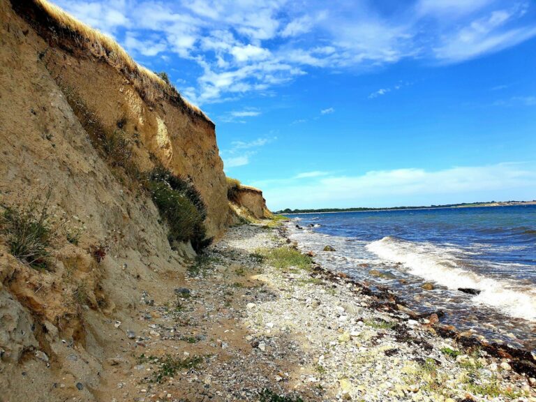
The Red Cliff, in Dutch Rode Klif, lies on the shore of the IJsselmeer near the hamlet of Scharl and is around ten metres high. Glaciers pushed up the land here during the penultimate ice age, then the waves of the former Zuiderzee eroded the edge. It takes its name from the reddish colour of the boulder clay. At the top, a large glacial erratic commemorates the Battle of Warns in 1345, in which the Frisians defeated the army of Count William IV of Holland. The inscription reads "Leaver dea as slaef", better dead than a slave.
Circular walk around Warns, Scharl and Laaksum
A circular walk of around seven kilometres leads from Warns to the cliff, to Scharl and to Laaksum. It is surfaced but hilly and runs partly on the road. In Scharl, a wooden bell tower from 1898 stands on a natural mound in the middle of the circular churchyard.
Port of Laaksum
Laaksum, in Frisian Laaxum, is often called the smallest fishing harbour in Europe. The hamlet comprises the harbour, a few fishermen's cottages, a farm and a smokehouse; only a handful of people live there. After the Afsluitdijk was built in 1932, fishing declined.
Stavoren
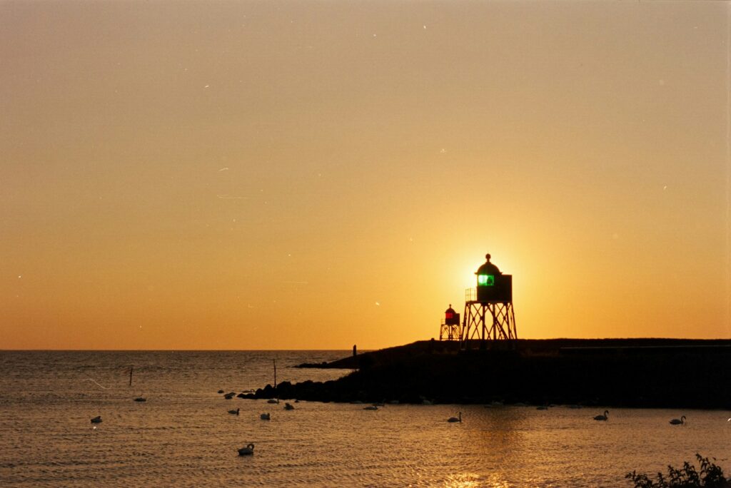
Stavoren is surrounded by the IJsselmeer on three sides. In the old harbour stands the statue of the Vrouwtje van Stavoren; at the harbour entrance stand a red and a green harbour light from 1884. The old sea lock dates from 1576 and is now operated by hand only on special occasions.
For skippers: Berthing and marine weather in Warns
Between Warns and the IJsselmeer you will find the Johan-Friso-Kanal, the bridge in Warns and the Johan-Friso-Schleuse in Stavoren. The bridge and lock are operated by the province of Fryslân, daily in the season and Monday to Friday in winter.
Berthing in the harbours
Both harbours have electricity and water at the pontoons and a workshop. You can book a visitor's berth at Jachthaven De Stormvogel by telephoning +31 514 681388; there is also a fuel berth and a crane for unstepping masts. You can reach Marina Warns on +31 514 681432.
Johan Friso Canal and bridge in Warns
The Johan-Friso-Kanal is a waterway belonging to the province of Fryslân. It runs from the IJsselmeer south of Stavoren via Warns and the Warnser Vaart inland as far as the Prinses-Margriet-Kanal. In the village it is crossed by a movable bridge, the Warnsebrug, which you can reach on VHF channel 78. Both large harbours lie to the east of it, so on your way to Stavoren you pass through it. If you are coming from the Frisian lakes, you reach Warns via the Morra.
In the season, from the end of March to the end of October, the bridge and lock on the Johan-Friso-Kanal are operated daily from 9 am to 8 pm, and from June to August Monday to Saturday until 10 pm. Outside the season they operate Monday to Friday from 9 am to 5 pm, on Saturdays on request only, and stay closed on Sundays (as of November 2026). You make your request at least two hours in advance on 058 292 58 88, option 4, available Monday to Friday from 8.30 am to 4 pm. There is no operation on 1 January or on both days of Christmas. The exact times for each bridge are listed on the Fryslân province page.
Johan Friso Lock in Stavoren
The Johan-Friso-Schleuse on the southern edge of Stavoren has connected the IJsselmeer with the Johan-Friso-Kanal since 1966. Because waiting times in summer sometimes reached up to two hours, a second chamber was added in 2014. It is 65 metres long and slightly curved. You can reach the lock on VHF channel 18. You moor there at floating pontoons that rise and fall with the water level, so you do not need to adjust your lines. In the summer months, lock assistants help with mooring.
Which marine weather forecast applies to Warns?
The KNMI Marifoonbericht from the Dutch meteorological service applies to Warns and the IJsselmeer. It covers coastal waters up to 30 nautical miles offshore and the large inland waters, including the IJsselmeer and Markermeer. It is issued four times a day, at 0, 6, 12 and 18 UTC, and is valid for 24 hours each time. It contains wind warnings from wind force 6 upwards.
The Kustwacht broadcasts the weather forecast on VHF radio and announces it beforehand on channel 16. The current version is on the KNMI website.
Trips from Warns on Törnfinder
An overview of the sailing area is given on the page Sailing on the IJsselmeer; trips throughout the country can be found under Sailing in the Netherlands. All current offers are listed in the trip overview.
Frequently asked questions
How do I get to Warns without a car?
Take the train via Leeuwarden and Sneek to Stavoren or Koudum-Molkwerum. From mid-April to the end of September you can also take the train to Enkhuizen and cross to Stavoren by ferry in about 80 minutes. From Stavoren it is about three kilometres to Warns.
Where do I park at the start of a trip in Warns?
At Jachthaven De Stormvogel on the harbour grounds, or in the public car parks on Nei de Feart and Boppelâns, around 100 metres from the harbour. From there it's around 700 metres to a kilometre to Marina Warns.
Is Warns directly on the IJsselmeer?
No. The village lies close to the shore, but the harbours are on the Johan Friso Canal. You reach the IJsselmeer through the bridge in Warns and the Johan Friso Lock in Stavoren, around 2 nautical miles through the canal.
Are there showers in the harbours at Warns?
Yes, Jachthaven De Stormvogel has showers, plus washing machines and dryers. Marina Warns has modern sanitary facilities.
How far apart are Jachthaven De Stormvogel and Marina Warns?
Just under a kilometre. De Stormvogel lies in the village on the canal; Marina Warns is further east on the canal at the north-eastern edge of the village.
When are the bridge and lock between Warns and the IJsselmeer operated?
In the season, from the end of March to the end of October, daily from 9 am to 8 pm, and from June to August Monday to Saturday until 10 pm. In winter, Monday to Friday from 9 am to 5 pm, on Saturdays only on request to the province of Fryslân at least two hours in advance on 058 292 58 88, and not at all on Sundays (as of November 2026).
How far is it from Warns to Enkhuizen?
Around 14 nautical miles across the water, including the canal to the lock at Stavoren. With fair winds that's a relaxed day's sail straight across the IJsselmeer.